Sites and Monuments Record · Ireland
Barrow - ditch barrow
Curragh (Kildare ED), County Kildare, Ireland
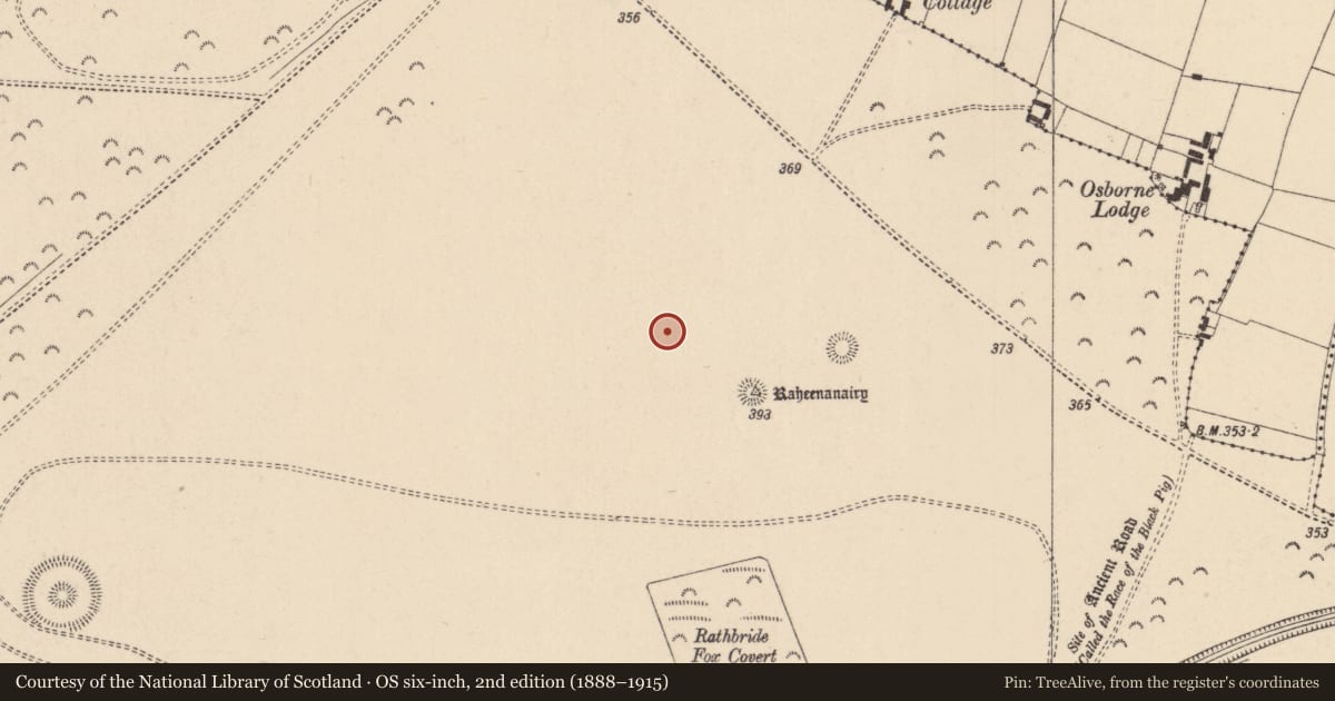
The record
- Townland
- Curragh (Kildare ED)
- County
- Kildare
- Country
- Ireland
- First-edition OS map
- Not indicated
- Latest-edition OS map
- Not indicated
- Coordinates
- 53.17535, -6.88136
- SMR number
- KD022-085----
Slide toward Today to fade the historical sheet and see the modern map underneath.
David Rumsey Map Collection, Stanford LibrariesDavid Rumsey Map Collection, Stanford LibrariesDavid Rumsey Map Collection, Stanford LibrariesDavid Rumsey Map Collection, Stanford Libraries
4 historical maps cover this location, the earliest the 1790 map "Composite: Ireland." (David Rumsey Map Collection, Stanford Libraries).
Historical maps covering this location
- 1790 · Composite: Ireland. (David Rumsey Map Collection, Stanford Libraries)
- 1799 · Ireland. (David Rumsey Map Collection, Stanford Libraries)
- 1830 · V.3:11-15:XV. Britisches Reich. C. Kon: Ireland. a. Prov: Leinster. Counties: 1-12 (David Rumsey Map Collection, Stanford Libraries)
- 1891 · Ireland 16 (David Rumsey Map Collection, Stanford Libraries)
This record in the National Monuments Service's Historic Environment Viewer ↗
The National Monuments Service's description
On top of the low, broad ridge which forms the spine of the Little Curragh and which also carries three other possible ditch-barrows; (KD022-083----) c. 45m to the SE, (KD022-081---- and KD022-082----) c. 140m to the ESE, a large ring-barrow (KD022-042----) c. 110m to the SE and a second large ring-barrow (KD022-043----) c. 200m to the ESE. A fourth ditch-barrow (KD022-080----) lies c. 190m to NE. Visible on an aerial photograph (DoD, 1999). A slightly raised circular area (diam. 7.4m) is defined by a very shallow fosse (Wth 1.4-1.7m; D 0.2m). A footpath track bisects the interior N-S. In the SE quadrant different vegetation growth forms a well defined a circular area (diam 1.8m) and six other examples of this occur immediately outside the monument E-S-W. Their origin, function and relationship with the barrow is unclear. (Similar circular features, but represented by very shallow depressions, occur at another ditch-barrow (KD022-074----) c. 685m to the NW.)
Compiled by: Gearóid Conroy
Date of upload: 10 June 2011
Nearby in the register
- Barrow - ditch barrowunder 1 mi
- Barrow - ditch barrowunder 1 mi
- Moundunder 1 mi
- Moundunder 1 mi
Other entries of the same register within about three miles of this one, by straight line.