Sites and Monuments Record · Ireland
Architectural fragment
Broguestown, County Kildare, Ireland
The record
- Townland
- Broguestown
- County
- Kildare
- Country
- Ireland
- First-edition OS map
- Not indicated
- Latest-edition OS map
- Not indicated
- Coordinates
- 53.22903, -6.58003
- SMR number
- KD020-024----
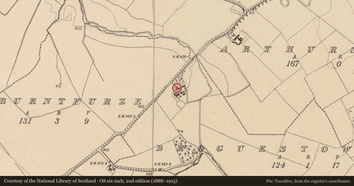
Slide toward Today to fade the historical sheet and see the modern map underneath.
David Rumsey Map Collection, Stanford LibrariesDavid Rumsey Map Collection, Stanford LibrariesDavid Rumsey Map Collection, Stanford LibrariesDavid Rumsey Map Collection, Stanford Libraries
4 historical maps cover this location, the earliest the 1799 map "Ireland." (David Rumsey Map Collection, Stanford Libraries).
Historical maps covering this location
- 1799 · Ireland. (David Rumsey Map Collection, Stanford Libraries)
- 1811 · Ireland. (David Rumsey Map Collection, Stanford Libraries)
- 1830 · V.3:11-15:XV. Britisches Reich. C. Kon: Ireland. a. Prov: Leinster. Counties: 1-12 (David Rumsey Map Collection, Stanford Libraries)
- 1891 · Ireland 16 (David Rumsey Map Collection, Stanford Libraries)
This record in the National Monuments Service's Historic Environment Viewer ↗
The National Monuments Service's description
Reused on the outer edge of a small landing on top of a short flight of steps leading to a barn door in a neat farmyard, and noticed when portion of a heavy concrete and dash render came loose from the side of the steps. A well-dressed rectangular granite piece (exposed L 0.46m; Wth 0.19m; T 0.17m) carries on its S face (which is still more than half-covered with render) a finely carved figure of an angel which is depicted with a small, oval head carved in relief which is flanked on each side by lightly incised, outstretched wings. The angel's nose is damaged.
Compiled by: Gearóid Conroy
Date of upload: 10 June 2011
Nearby in the register
- Urn burialunder 1 mi
- Burialunder 1 mi
- Castle - unclassifiedunder 1 mi
- Bawnunder 1 mi
Other entries of the same register within about three miles of this one, by straight line.