Sites and Monuments Record · Ireland
Urn burial
Hartwell Upper, County Kildare, Ireland
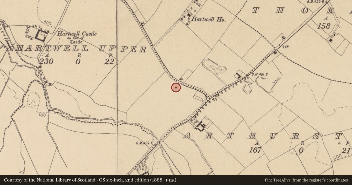
The record
- Townland
- Hartwell Upper
- County
- Kildare
- Country
- Ireland
- First-edition OS map
- Not Indicated
- Latest-edition OS map
- Not indicated
- Coordinates
- 53.23282, -6.57743
- SMR number
- KD020-011----
Slide toward Today to fade the historical sheet and see the modern map underneath.
David Rumsey Map Collection, Stanford LibrariesDavid Rumsey Map Collection, Stanford LibrariesDavid Rumsey Map Collection, Stanford LibrariesDavid Rumsey Map Collection, Stanford Libraries
4 historical maps cover this location, the earliest the 1790 map "Composite: Ireland." (David Rumsey Map Collection, Stanford Libraries).
Historical maps covering this location
- 1790 · Composite: Ireland. (David Rumsey Map Collection, Stanford Libraries)
- 1799 · Ireland. (David Rumsey Map Collection, Stanford Libraries)
- 1830 · V.3:11-15:XV. Britisches Reich. C. Kon: Ireland. a. Prov: Leinster. Counties: 1-12 (David Rumsey Map Collection, Stanford Libraries)
- 1891 · Ireland 16 (David Rumsey Map Collection, Stanford Libraries)
This record in the National Monuments Service's Historic Environment Viewer ↗
The National Monuments Service's description
In 1936, digging operations in a sand ridge uncovered evidence of burials, but the discovery was only reported and investigated by the NMI in 1939. Material subsequently collected by the NMI actually comprised evidence of two burials from two different locations: unburnt human remains of early medieval date (KD020-010----) and the remains of a prehistoric burial. This comprised fragments (subsequently restored) of a small bowl food vessel (H 0.1m; base diam 0.06m; rim diam. 0.15m) decorated with a panel of conjoined lozenges, a panel of shapes like stretched hides, panels of both horizontal and vertical impressed lines, and four impressed grooves of circular form. (Cahill and Sikora 2011, Vol 1, 218-21)
Compiled by: Gearóid Conroy
Date of upload: 10 June 2011
References
Cahill, M. and Sikora, M. (eds) 2011 Breaking ground, finding graves - reports on the excavations of burials by the National Museum of Ireland, 1927-2006, 2 vols. Dublin. Wordwell Ltd. in association with the National Museum of Ireland.
Nearby in the register
- Burialunder 1 mi
- Architectural fragmentunder 1 mi
- Ritual site - holy wellunder 1 mi
- Ritual site - holy tree/bushunder 1 mi
Other entries of the same register within about three miles of this one, by straight line.