Sites and Monuments Record · Ireland
Barrow - stepped barrow
Barrettstown (Donore ED), County Kildare, Ireland
The record
- Townland
- Barrettstown (Donore ED)
- County
- Kildare
- Country
- Ireland
- First-edition OS map
- Not indicated
- Latest-edition OS map
- Not indicated
- Coordinates
- 53.25452, -6.69649
- SMR number
- KD019-001003-
Slide toward Today to fade the historical sheet and see the modern map underneath.
David Rumsey Map Collection, Stanford LibrariesDavid Rumsey Map Collection, Stanford LibrariesDavid Rumsey Map Collection, Stanford LibrariesDavid Rumsey Map Collection, Stanford Libraries
4 historical maps cover this location, the earliest the 1790 map "Composite: Ireland." (David Rumsey Map Collection, Stanford Libraries).
Historical maps covering this location
- 1790 · Composite: Ireland. (David Rumsey Map Collection, Stanford Libraries)
- 1799 · Ireland. (David Rumsey Map Collection, Stanford Libraries)
- 1830 · V.3:11-15:XV. Britisches Reich. C. Kon: Ireland. a. Prov: Leinster. Counties: 1-12 (David Rumsey Map Collection, Stanford Libraries)
- 1891 · Ireland 16 (David Rumsey Map Collection, Stanford Libraries)
This record in the National Monuments Service's Historic Environment Viewer ↗
The National Monuments Service's description
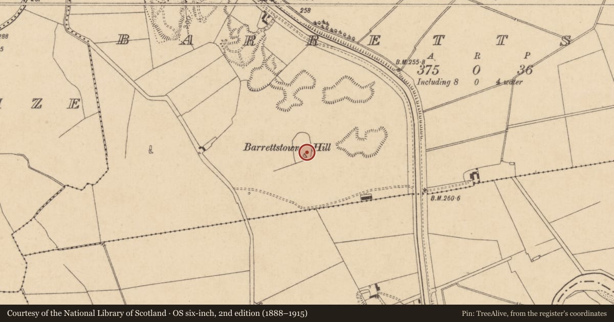
Eight barrows occupy the fairly level, nettle-covered, narrow upper surface of a short, N-S esker in level pasture, with evidence of previous extensive sand/gravel extraction immediately to the N and E. Six contiguous barrows (KD019-001001-, KD019-001002-, KD019-001003-, KD019-001006-, KD019-001008-, KD019-001009-) run N-S, in-line at the N end of the esker and are contained in an enclosure (KD019-001004-) which girdles the lower slopes of the esker, while a seventh and eight barrow (KD019-001005-, KD019-001007-, ) lies c. 48m slightly down slope, and outside the enclosure, to the S.
KD019-001003- is the third-most northerly barrow in the group. A small circular area (diam. 6.6m) is defined by a low, broad berm (Wth 3.2m; ext H 0.1-0.4m) NW-NE and SE-SW. The monument is abutted at N by another barrow (KD019-001002-).
Compiled by: Gearóid Conroy
Revised by: Caimin O'Brien with details kindly provided by Chris Corlett
Date of revised upload: 29 November 2018
Nearby in the register
- Barrow - unclassifiedunder 1 mi
- Barrow - unclassifiedunder 1 mi
- Barrow - unclassifiedunder 1 mi
- Enclosureunder 1 mi
Other entries of the same register within about three miles of this one, by straight line.