Sites and Monuments Record · Ireland
Church
Ceathrú An Lisín,Ceathrú An Teampaill, County Galway, Ireland
The record
- Townland
- Ceathrú An Lisín,Ceathrú An Teampaill
- County
- Galway
- Country
- Ireland
- First-edition OS map
- Templemurry
- Latest-edition OS map
- Templemurry
- Coordinates
- 53.08419, -9.59090
- SMR number
- GA119-049----
Slide toward Today to fade the historical sheet and see the modern map underneath.
David Rumsey Map Collection, Stanford LibrariesDavid Rumsey Map Collection, Stanford LibrariesDavid Rumsey Map Collection, Stanford LibrariesDavid Rumsey Map Collection, Stanford Libraries
4 historical maps cover this location, the earliest the 1753 map "Mappa geographica Regni Hiberniae" (David Rumsey Map Collection, Stanford Libraries).
Historical maps covering this location
- 1753 · Mappa geographica Regni Hiberniae (David Rumsey Map Collection, Stanford Libraries)
- 1790 · Composite: Ireland. (David Rumsey Map Collection, Stanford Libraries)
- 1869 · Ireland. (David Rumsey Map Collection, Stanford Libraries)
- 1891 · Ireland 16 (David Rumsey Map Collection, Stanford Libraries)
This record in the National Monuments Service's Historic Environment Viewer ↗
The National Monuments Service's description
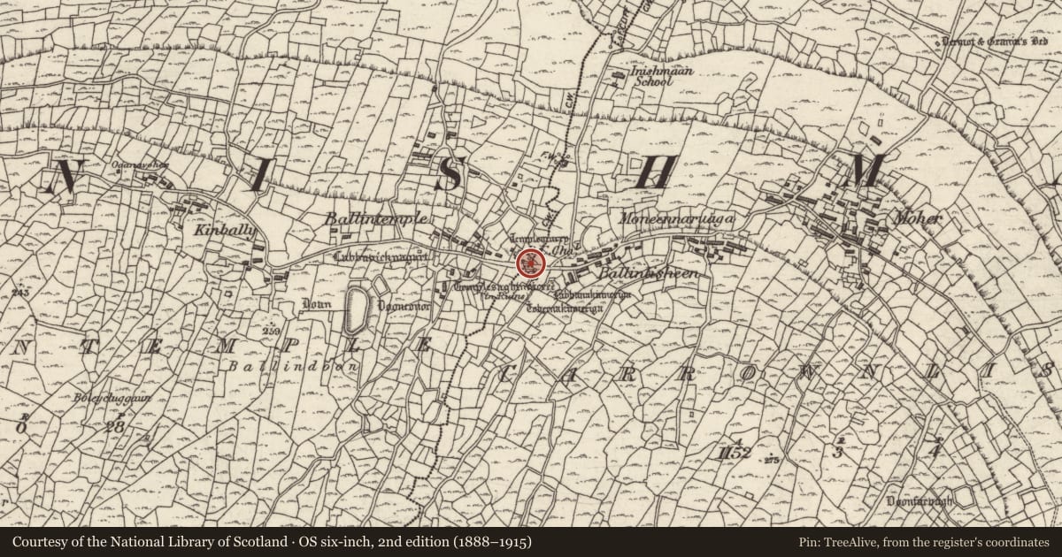
Across the road to the N of the modern R.C. church at centre of Inis Meáin. Site of Teampall Mhuire, a medieval church re-roofed in 1840 but demolished in 1939. The OS Letters give dimensions (L 12m, Wth 4.55m) and describe a pointed-arch doorway in N wall and a window in E gable (O'Flanagan 1927a, Vol. 3, 213-14). A transept was added in 1890s (Westropp 1895, 269). The R.C. church contains a possible bullaun (GA112-049001-) reused as a stoup, an architectural fragment converted for use as a free-standing stoup (GA0119-049002-) and a crucifixion plaque (probably of 19th century date) which probably came from the site. (Robinson 1980; Gosling 1993, no. 525)
Revised by: Paul Walsh
Date of upload: 11 April 2014
References
Robinson, T. 1980 The Aran Islands, Co. Galway: a map and guide. Árainn. Published by the author.
Gosling, P. (compiler) 1993 Archaeological inventory of County Galway, vol. 1: West Galway. Dublin. Stationery Office.
Nearby in the register
- Bullaun stone (present location)under 1 mi
- Architectural fragmentunder 1 mi
- Graveyardunder 1 mi
- Churchunder 1 mi
Other entries of the same register within about three miles of this one, by straight line.