Sites and Monuments Record · Ireland
Souterrain
Lackan (Dunkellin By.), County Galway, Ireland
The record
- Townland
- Lackan (Dunkellin By.)
- County
- Galway
- Country
- Ireland
- First-edition OS map
- Not indicated
- Latest-edition OS map
- Not indicated
- Coordinates
- 53.16363, -8.78221
- SMR number
- GA114-109001-
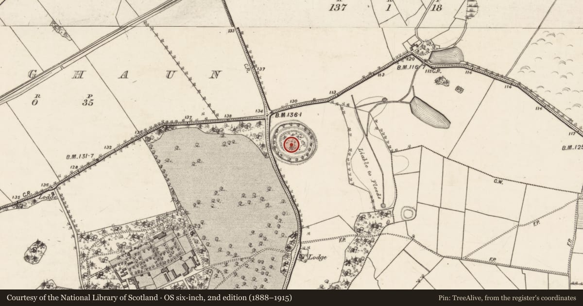
Slide toward Today to fade the historical sheet and see the modern map underneath.
David Rumsey Map Collection, Stanford LibrariesDavid Rumsey Map Collection, Stanford LibrariesDavid Rumsey Map Collection, Stanford LibrariesDavid Rumsey Map Collection, Stanford Libraries
4 historical maps cover this location, the earliest the 1753 map "Mappa geographica Regni Hiberniae" (David Rumsey Map Collection, Stanford Libraries).
Historical maps covering this location
- 1753 · Mappa geographica Regni Hiberniae (David Rumsey Map Collection, Stanford Libraries)
- 1790 · Composite: Ireland. (David Rumsey Map Collection, Stanford Libraries)
- 1869 · Ireland. (David Rumsey Map Collection, Stanford Libraries)
- 1891 · Ireland 16 (David Rumsey Map Collection, Stanford Libraries)
This record in the National Monuments Service's Historic Environment Viewer ↗
The National Monuments Service's description
Within the SE quadrant of a rath (GA114-109----). This well-preserved drystone-built souterrain, which was the setting for an experimental archaeological project in 1979 (Fox 1980, 14-15), is roughly Z-shaped in plan. From the access point a passage extends to the E (L 5.56m) and to the N (L 9.7m; Wth 1.96m max.). The latter section leads to a chamber (L 6.55m; Wth 2.12m; H 1.6m ), running E-W, off its NW end. An air-vent is evident at the NE end of the passage. There is another souterrain (GA114-109002-) in the SW quadrant of the rath. (McCaffrey 1952, 285, no. 7)
Compiled by: Olive Alcock
Date of upload: 7 September 2016
This monument is subject to a preservation order made under the National Monuments Acts 1930 to 2014 (PO no. 5/1980).
The monument was taken into Ownership under the National Monuments Acts 1930 to 2014 - National Monument 627.
References
McCaffrey, P. 1952 A contribution to the archaeology of the barony of Dunkellin, Co. Galway. Unpublished MA thesis, National University of Ireland, Galway.
Fox, E. 1980 Sleeping in a souterrain monitoring temperatures. Muintir Amháin - Muintir Ardrahan.
Nearby in the register
- Ringfort - rathunder 1 mi
- Souterrainunder 1 mi
- Standing stoneunder 1 mi
- Ringfort - rathunder 1 mi
Other entries of the same register within about three miles of this one, by straight line.