Sites and Monuments Record · Ireland
Burial
Cill Mhuirbhigh, County Galway, Ireland
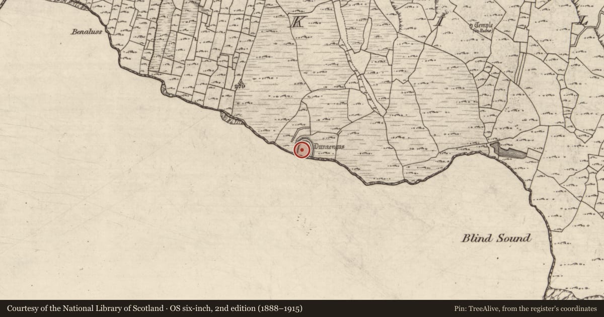
The record
- Townland
- Cill Mhuirbhigh
- County
- Galway
- Country
- Ireland
- First-edition OS map
- Not indicated
- Latest-edition OS map
- Not indicated
- Coordinates
- 53.12551, -9.76723
- SMR number
- GA110-039015-
Slide toward Today to fade the historical sheet and see the modern map underneath.
David Rumsey Map Collection, Stanford LibrariesDavid Rumsey Map Collection, Stanford LibrariesDavid Rumsey Map Collection, Stanford LibrariesDavid Rumsey Map Collection, Stanford Libraries
4 historical maps cover this location, the earliest the 1753 map "Mappa geographica Regni Hiberniae" (David Rumsey Map Collection, Stanford Libraries).
Historical maps covering this location
- 1753 · Mappa geographica Regni Hiberniae (David Rumsey Map Collection, Stanford Libraries)
- 1790 · Composite: Ireland. (David Rumsey Map Collection, Stanford Libraries)
- 1869 · Ireland. (David Rumsey Map Collection, Stanford Libraries)
- 1891 · Ireland 16 (David Rumsey Map Collection, Stanford Libraries)
This record in the National Monuments Service's Historic Environment Viewer ↗
The National Monuments Service's description
This burial (identified as F3047f) was found on the E side of a bedrock hollow (see GA110-039003-), at a spot where it had been quarried away to make a box-like rectangular grave (Wth 0.35m; D 0.23m). The grave contained the skeleton of a neonate, placed with its head at the W end. The burial was compacted and, despite some root damage, was relatively intact. There was no trace of any covering slab and no grave-goods were found. A radiocarbon date yielded a date of 770-410 cal. BC. A linear stone boundary uncovered running NE-SW across the hollow to the S of the burial may pre-date it or, alternatively, it may have been a fence that marked off the burial area (Cotter 2012, vol. 1, 329-30). (Ó Donnabháin 2012, vol. 2, 189-90, 196)
Compiled by: Olive Alcock
Date of upload: 22 June 2020
References
Cotter, C. 2012 The western stone forts project. Excavations at Dún Aonghasa and Dún Eoghanachta. 2 vols. Dublin. Wordwell Ltd.
Ó Donnabháin, B. 2012 Human remains. In C. Cotter, The western stone forts project. Excavations at Dún Aonghasa and Dún Eoghanachta. Vol. 2, 189-96. Dublin. Wordwell Ltd.
Nearby in the register
- Habitation siteunder 1 mi
- House - Bronze Ageunder 1 mi
- Structureunder 1 mi
- House - early medievalunder 1 mi
Other entries of the same register within about three miles of this one, by straight line.