Sites and Monuments Record · Ireland
Ringfort - cashel
Cill Ráine, County Galway, Ireland
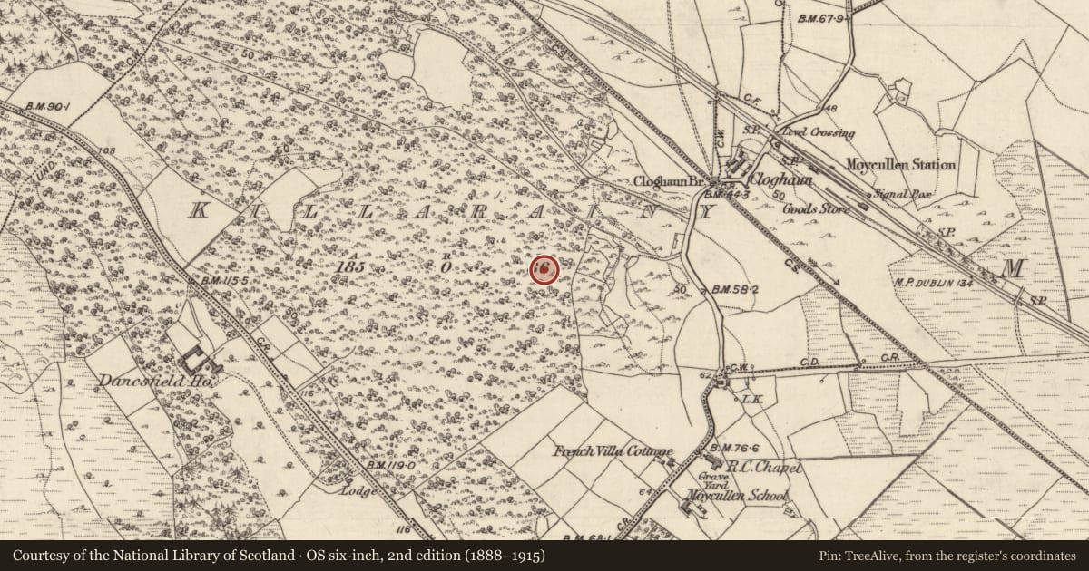
The record
- Townland
- Cill Ráine
- County
- Galway
- Country
- Ireland
- First-edition OS map
- Hachured
- Latest-edition OS map
- Not indicated
- Coordinates
- 53.34302, -9.17937
- SMR number
- GA068-026----
Slide toward Today to fade the historical sheet and see the modern map underneath.
David Rumsey Map Collection, Stanford LibrariesDavid Rumsey Map Collection, Stanford LibrariesDavid Rumsey Map Collection, Stanford LibrariesDavid Rumsey Map Collection, Stanford Libraries
4 historical maps cover this location, the earliest the 1753 map "Mappa geographica Regni Hiberniae" (David Rumsey Map Collection, Stanford Libraries).
Historical maps covering this location
- 1753 · Mappa geographica Regni Hiberniae (David Rumsey Map Collection, Stanford Libraries)
- 1790 · Composite: Ireland. (David Rumsey Map Collection, Stanford Libraries)
- 1869 · Ireland. (David Rumsey Map Collection, Stanford Libraries)
- 1891 · Ireland 16 (David Rumsey Map Collection, Stanford Libraries)
This record in the National Monuments Service's Historic Environment Viewer ↗
The National Monuments Service's description
At the head of a small valley surrounded by slightly higher ground from N to SW. Lower ground slopes off to the W and NW. This roughly subcircular cashel (int. dims. c. 40m E-W; c. 35m N-S) is defined by a collapsed rubble spread (int. H 0.3-1m; overall Wth of spread 5.7m; Wth of top of wall c. 1.5m-3.8m; ext H 1.2m). No obvious wall-facing is evident and most of the collapse occurs on the external face. There is no obvious entrance gap. The interior is uneven and overgrown - numerous tree stumps are evident. A raised area demarked by a possible internal dividing wall is evident in the W half of the site - the wall is defined by a grassed-over stony spread. The raised area is c. 1m above the E half of the site and 0.5m above the N sector. The cashel is completely overgrown with bramble, briars, hazel, and ferns. It is within a mature tree plantation and the trees immediately around and within the site have recently been felled.
Compiled by: Olive Alcock
Date of upload: 23 August 2017
The following images have been appended:
GA068-026----_01.jpg
GA068-026----_02.jpg
Nearby in the register
- Chapelunder 1 mi
- Field boundaryunder 1 mi
- Townunder 1 mi
- Moundunder 1 mi
Other entries of the same register within about three miles of this one, by straight line.