Sites and Monuments Record · Ireland
Ringfort - rath
Cornamucklagh (Clonmacnowen By.), County Galway, Ireland
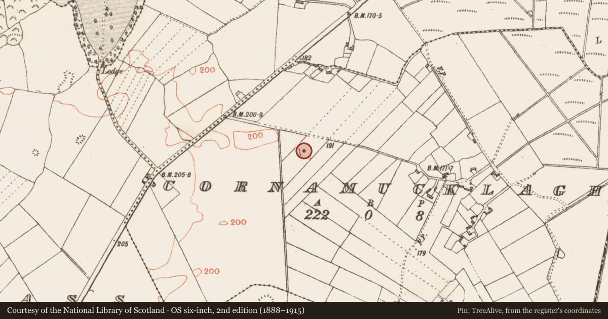
The record
- Townland
- Cornamucklagh (Clonmacnowen By.)
- County
- Galway
- Country
- Ireland
- First-edition OS map
- Hachured
- Latest-edition OS map
- Hachured
- Coordinates
- 53.42006, -8.33280
- SMR number
- GA061-071----
Slide toward Today to fade the historical sheet and see the modern map underneath.
David Rumsey Map Collection, Stanford LibrariesDavid Rumsey Map Collection, Stanford LibrariesDavid Rumsey Map Collection, Stanford LibrariesDavid Rumsey Map Collection, Stanford Libraries
4 historical maps cover this location, the earliest the 1790 map "Composite: Ireland." (David Rumsey Map Collection, Stanford Libraries).
Historical maps covering this location
- 1790 · Composite: Ireland. (David Rumsey Map Collection, Stanford Libraries)
- 1857 · Ireland (David Rumsey Map Collection, Stanford Libraries)
- 1869 · Ireland. (David Rumsey Map Collection, Stanford Libraries)
- 1891 · Ireland 16 (David Rumsey Map Collection, Stanford Libraries)
This record in the National Monuments Service's Historic Environment Viewer ↗
The National Monuments Service's description
On a gentle SSE-facing slope. On inspection in November 1984, this poorly preserved subcircular rath (WSW-ENE 39m, NW-SE 33m) was defined by a low stony bank (Wth 1.5m; int. H 0.3m; ext. H 1m) from SSE to NW, the bank was overgrown with trees. From NW to NNE a low narrow bank was visible and from NNE to SSE a scarp (H 0.5m) formed the enclosing element. Traces of an external fosse were indicated by a vegetation band at SE and by a shallow depression (Wth 0.7m) at N. The interior was clear and sloped to the SE. On re-inspection in October 2001, the bank had been levelled. A house was built on the S sector of the rath and a driveaway accessing it cut across the interior of it from roughly NNE to SSW.
The above description is derived from the published 'Archaeological Inventory of County Galway Vol. II - North Galway'. Compiled by Olive Alcock, Kathy de hÓra and Paul Gosling (Dublin: Stationery Office, 1999).
Revised by: Olive Alcock
Date of revised upload: 17 August 2023
Nearby in the register
- Ringfort - unclassifiedunder 1 mi
- Ringfort - rathunder 1 mi
- Enclosureunder 1 mi
- Enclosureunder 1 mi
Other entries of the same register within about three miles of this one, by straight line.