Sites and Monuments Record · Ireland
Megalithic tomb - wedge tomb
Cahernaglass, County Galway, Ireland
The record
- Townland
- Cahernaglass
- County
- Galway
- Country
- Ireland
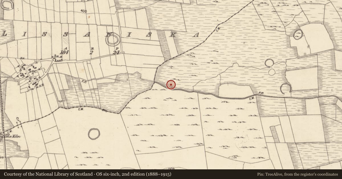
- Latest-edition OS map
- Grave
- Coordinates
- 53.40549, -8.73704
- SMR number
- GA058-043----
Slide toward Today to fade the historical sheet and see the modern map underneath.
David Rumsey Map Collection, Stanford LibrariesDavid Rumsey Map Collection, Stanford LibrariesDavid Rumsey Map Collection, Stanford LibrariesDavid Rumsey Map Collection, Stanford Libraries
4 historical maps cover this location, the earliest the 1753 map "Mappa geographica Regni Hiberniae" (David Rumsey Map Collection, Stanford Libraries).
Historical maps covering this location
- 1753 · Mappa geographica Regni Hiberniae (David Rumsey Map Collection, Stanford Libraries)
- 1790 · Composite: Ireland. (David Rumsey Map Collection, Stanford Libraries)
- 1869 · Ireland. (David Rumsey Map Collection, Stanford Libraries)
- 1891 · Ireland 16 (David Rumsey Map Collection, Stanford Libraries)
This record in the National Monuments Service's Historic Environment Viewer ↗
The National Monuments Service's description
In a broad valley near W end of an isolated terrace of cragland, 1.6km S of Knockroe Hill. The monument, extant in 1960, has since been destroyed and no visible surface trace survives. It consisted of a long narrow gallery (L 8.2m, Wth 1.9m at W, narrowing to 1m at E), aligned roughly E-W. Five displaced slabs lay along it; these may have been fragments of the roof. The N side was represented by five orthostats and S side by seven; a backstone was in position at E end. Two outer wall-stones were exposed on N side and two on S side. The tomb was incorporated in a subrectangular mound (L 13, Wth < 8m). (de Valera and Ó Nualláin 1972, 12-13; 6 Nualláin 1989, 137)
The above description is derived from the published 'Archaeological Inventory of County Galway Vol. II - North Galway'. Compiled by Olive Alcock, Kathy de hÓra and Paul Gosling (Dublin: Stationery Office, 1999).
Date of upload: 05 August 2010
See linked document with details from Ruaidhrí de Valera and Seán Ó Nualláin, Survey of the Megalithic Tombs of Ireland. Volume III. Counties Galway, Roscommon, Leitrim, Longford, Westmeath, Laoighis, Offaly, Kildare, Cavan. (Dublin: Stationery Office, 1972).
Nearby in the register
- Field systemunder 1 mi
- House - 18th/19th centuryunder 1 mi
- Field systemunder 1 mi
- Ringfort - cashelunder 1 mi
Other entries of the same register within about three miles of this one, by straight line.