Sites and Monuments Record · Ireland
Standing stone
Rosleague, County Galway, Ireland
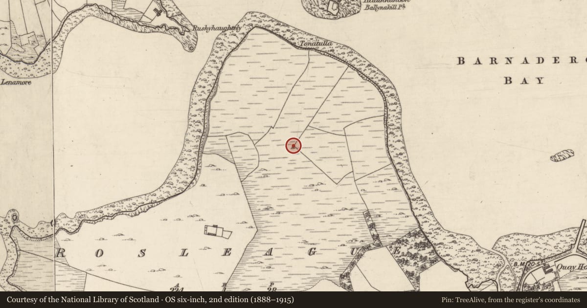
The record
- Townland
- Rosleague
- County
- Galway
- Country
- Ireland
- First-edition OS map
- Not indicated
- Latest-edition OS map
- Not indicated
- Coordinates
- 53.55329, -9.97893
- SMR number
- GA023-029----
Slide toward Today to fade the historical sheet and see the modern map underneath.
David Rumsey Map Collection, Stanford LibrariesDavid Rumsey Map Collection, Stanford LibrariesDavid Rumsey Map Collection, Stanford LibrariesDavid Rumsey Map Collection, Stanford Libraries
4 historical maps cover this location, the earliest the 1753 map "Mappa geographica Regni Hiberniae" (David Rumsey Map Collection, Stanford Libraries).
Historical maps covering this location
- 1753 · Mappa geographica Regni Hiberniae (David Rumsey Map Collection, Stanford Libraries)
- 1790 · Composite: Ireland. (David Rumsey Map Collection, Stanford Libraries)
- 1869 · Ireland. (David Rumsey Map Collection, Stanford Libraries)
- 1891 · Ireland 16 (David Rumsey Map Collection, Stanford Libraries)
This record in the National Monuments Service's Historic Environment Viewer ↗
The National Monuments Service's description
Crowning the steep-sided promontory which divides Ballynakill Harbour from Bearna Dhearg Bay. Described by Redington (1914, 237) as 'an erratic boulder of white granite' (H c. 1.5m, L/Wth 0.85m). No visible trace of the stone (GA023-029----), or the small 'enclosure' (GA023-029001-) adjoining it on E (ibid., 239), survives; the promontory is now mantled by a fir plantation. A stone pair lies c. 250m to SSW (GA023-030----) and there is a pre-bog wall (GA023-039----) on SE slopes of the hill.
The above description is derived from the published 'Archaeological Inventory of County Galway Vol. I - West Galway'. Compiled by Paul Gosling (Dublin: Stationery Office, 1993).
Date of upload: 05 August 2010
Nearby in the register
- Enclosureunder 1 mi
- Field boundaryunder 1 mi
- Enclosureunder 1 mi
- Standing stone - pairunder 1 mi
Other entries of the same register within about three miles of this one, by straight line.