Sites and Monuments Record · Ireland
Standing stone
Garraunbaun (Ballynahinch By.), County Galway, Ireland
The record
- Townland
- Garraunbaun (Ballynahinch By.)
- County
- Galway
- Country
- Ireland
- First-edition OS map
- Not indicated
- Latest-edition OS map
- Not indicated
- Coordinates
- 53.55215, -10.01980
- SMR number
- GA022-040----
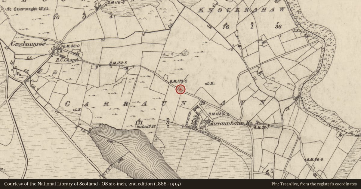
Slide toward Today to fade the historical sheet and see the modern map underneath.
David Rumsey Map Collection, Stanford LibrariesDavid Rumsey Map Collection, Stanford LibrariesDavid Rumsey Map Collection, Stanford LibrariesDavid Rumsey Map Collection, Stanford Libraries
4 historical maps cover this location, the earliest the 1753 map "Mappa geographica Regni Hiberniae" (David Rumsey Map Collection, Stanford Libraries).
Historical maps covering this location
- 1753 · Mappa geographica Regni Hiberniae (David Rumsey Map Collection, Stanford Libraries)
- 1790 · Composite: Ireland. (David Rumsey Map Collection, Stanford Libraries)
- 1869 · Ireland. (David Rumsey Map Collection, Stanford Libraries)
- 1891 · Ireland 16 (David Rumsey Map Collection, Stanford Libraries)
This record in the National Monuments Service's Historic Environment Viewer ↗
The National Monuments Service's description
On the summit of a low hill in rough pastureland overlooking Garraunbaun Lough to the SW and Ballynakill Harbour to the N. This white quartz standing stone, rectangular in plan (H 1.55m; Wth 1.1m; T 0.8m), leans to the E. Grassed-over small granite boulders are visible at its base on the N and E sides. The standing stone is visible on current aerial imagery (OSi digitalglobe 2011-2013). (Kinahan 1869c, 445, may be referring to it, amongst others;)
The above description is derived from the published 'Archaeological Inventory of County Galway Vol. I - West Galway'. Compiled by Paul Gosling (Dublin: Stationery Office, 1993).
Updated by: Olive Alcock
Date of revised upload: 28 July 2022
References
Kinahan, G.H. 1869c Proceedings: megalithic structures near Cleggan Bay, Co. Galway. Journal of the Royal Society of Antiquaries of Ireland 10, 442-5.
Gosling, P. (compiler) 1993 Archaeological inventory of County Galway, vol. 1: West Galway. Dublin. Stationery Office.
Nearby in the register
- Megalithic tomb - court tombunder 1 mi
- Chapelunder 1 mi
- Middenunder 1 mi
- Stone rowunder 1 mi
Other entries of the same register within about three miles of this one, by straight line.