Sites and Monuments Record · Ireland
Cairn - wayside cairn
Cashel (Tiaquin By.), County Galway, Ireland
The record
- Townland
- Cashel (Tiaquin By.)
- County
- Galway
- Country
- Ireland
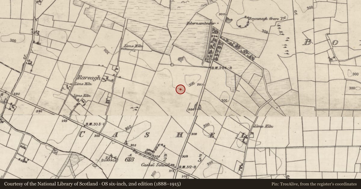
- First-edition OS map
- NULL
- Latest-edition OS map
- Leactmarienevrien
- Coordinates
- 53.62749, -8.61931
- SMR number
- GA006-033----
Slide toward Today to fade the historical sheet and see the modern map underneath.
David Rumsey Map Collection, Stanford LibrariesDavid Rumsey Map Collection, Stanford LibrariesDavid Rumsey Map Collection, Stanford LibrariesDavid Rumsey Map Collection, Stanford Libraries
4 historical maps cover this location, the earliest the 1753 map "Mappa geographica Regni Hiberniae" (David Rumsey Map Collection, Stanford Libraries).
Historical maps covering this location
- 1753 · Mappa geographica Regni Hiberniae (David Rumsey Map Collection, Stanford Libraries)
- 1790 · Composite: Ireland. (David Rumsey Map Collection, Stanford Libraries)
- 1869 · Ireland. (David Rumsey Map Collection, Stanford Libraries)
- 1891 · Ireland 16 (David Rumsey Map Collection, Stanford Libraries)
This record in the National Monuments Service's Historic Environment Viewer ↗
The National Monuments Service's description
On E-facing slope of a ridge in grassland, 410m SW of Boyounagh graveyard (GA006-030001-). Named in OS Letters (O'Flanagan 1927, Vol. 1, 81) as 'Leacht Mhaire Ni Thuathail' and described as 'a large ash tree with a carn of stones around its base'. It consists of a small, partially degraded, subrectangular flat-topped mound of earth and stone (N-S 3m, E-W 1.6m, H 1.2m max.). Local tradition states that it was dedicated to a woman who, when being taken to the above graveyard for burial, fell from the shoulders of her pall-bearers at this spot. As a result, the mound was constructed as 'it is a custom in the country to raise a pile of stones on every spot where a corpse was laid down' (ibid.). The ash tree was afterwards planted in her memory by a friend. (Kinght c. 1975, 2-3)
The above description is derived from the published 'Archaeological Inventory of County Galway Vol. II - North Galway'. Compiled by Olive Alcock, Kathy de hÓra and Paul Gosling (Dublin: Stationery Office, 1999).
Date of upload: 05 August 2010
Nearby in the register
- Quarryunder 1 mi
- Quarryunder 1 mi
- Ritual site - holy wellunder 1 mi
- Churchunder 1 mi
Other entries of the same register within about three miles of this one, by straight line.