Sites and Monuments Record · Ireland
Field system
Kilmashogue, County Dublin, Ireland
The record
- Townland
- Kilmashogue
- County
- Dublin
- Country
- Ireland
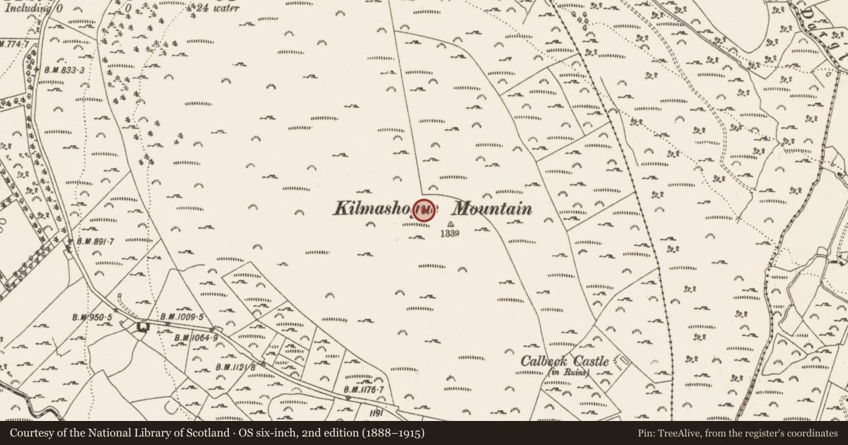
- Latest-edition OS map
- Indicated
- Coordinates
- 53.25145, -6.26790
- SMR number
- DU025-008001-
Slide toward Today to fade the historical sheet and see the modern map underneath.
David Rumsey Map Collection, Stanford LibrariesDavid Rumsey Map Collection, Stanford LibrariesDavid Rumsey Map Collection, Stanford LibrariesDavid Rumsey Map Collection, Stanford Libraries
4 historical maps cover this location, the earliest the 1799 map "Ireland." (David Rumsey Map Collection, Stanford Libraries).
Historical maps covering this location
- 1799 · Ireland. (David Rumsey Map Collection, Stanford Libraries)
- 1811 · Ireland. (David Rumsey Map Collection, Stanford Libraries)
- 1841 · Ireland. (David Rumsey Map Collection, Stanford Libraries)
- 1891 · Ireland 16 (David Rumsey Map Collection, Stanford Libraries)
This record in the National Monuments Service's Historic Environment Viewer ↗
The National Monuments Service's description
These partially peat-covered features are located on the N and W slopes of Kilmashogue Mountain. They comprise a network of drystone-built walls stretching for c. 1km. The main axis of the earlier co-axial system runs NW-SE cutting across the contours with a focus, on the summit. The second system radiates from a subcircular enclosure in a naturally level platform on the N slopes of the mountain. This impressive enclosure (int. diam. c. 60m) is defined by a drystone-built wall (Wth 2m; H 1m). The interior has uneven stony areas. Aerial photographic coverage of the site indicates a central internal enclosure (OS Flight 9, 2271). There is an opening in the NW. Field walls radiate from the enclosure at the NE, SSE, SSW and W and across the main field system running NW-SE (Cooney 1985, 28-30). The scale of the earlier co-axial field system and the occurrence of megalithic tombs in the vicinity suggests that it is of prehistoric date and unique within the county.
Compiled by: Geraldine Stout and Padraig Clancy
Revised upload on: 28 July 2018
References
Cooney, G. 1985b Photogrammetric surveys in archaeology and architecture. Survey Ireland, 28-30.
Nearby in the register
- Enclosureunder 1 mi
- Enclosureunder 1 mi
- House - 18th/19th centuryunder 1 mi
- Ringfort - cashelunder 1 mi
Other entries of the same register within about three miles of this one, by straight line.