Sites and Monuments Record · Ireland
Graveslab
Dalkey, County Dublin, Ireland
The record
- Townland
- Dalkey
- County
- Dublin
- Country
- Ireland
- Latest-edition OS map
- Not indicated
- Coordinates
- 53.27805, -6.10588
- SMR number
- DU023-023003-
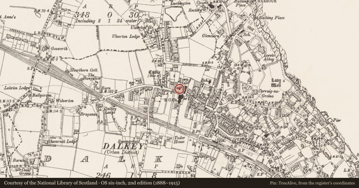
Slide toward Today to fade the historical sheet and see the modern map underneath.
David Rumsey Map Collection, Stanford LibrariesDavid Rumsey Map Collection, Stanford LibrariesDavid Rumsey Map Collection, Stanford LibrariesDavid Rumsey Map Collection, Stanford Libraries
4 historical maps cover this location, the earliest the 1799 map "Ireland." (David Rumsey Map Collection, Stanford Libraries).
Historical maps covering this location
- 1799 · Ireland. (David Rumsey Map Collection, Stanford Libraries)
- 1811 · Ireland. (David Rumsey Map Collection, Stanford Libraries)
- 1841 · Ireland. (David Rumsey Map Collection, Stanford Libraries)
- 1891 · Ireland 16 (David Rumsey Map Collection, Stanford Libraries)
This record in the National Monuments Service's Historic Environment Viewer ↗
The National Monuments Service's description
Situated at the N end of Dalkey town at the junction of Castle Street and Ormeau Dive. The graveslab is located is within a rectangular walled-in graveyard raised above the level of the road. The graveslab is a 'Rathdown type' and is recorded as being face down by the door in the S wall of the church (DU023-023002-; Ó hÉailidhe 1957, 80-83). It comprises a large slab decorated in relief with a ringed Latin Cross and a cupmark in the centre. Below the shaft is another cupmark within a large circle. At each end of the slab is a group of concentric circles with a central cupmark along both edges of the decorated face are semi-circular loops (L 1.65m, Wth 0.52m, T 0.18m; Ó hÉailidhe 1957, 80, 83, Swords, K. ed. 2009, 94).
Compiled by: Geraldine Stout and Padraig Clancy
Revised upload on: 22 May 2018
References
Swords, K. (ed.) 2009 Pre-Norman grave-slabs and cross-inscribed stones in the Dublin region. 2009 edition of an NUIG MA thesis prepared in 1985. Tallaght, Dublin. Local Studies Section, South Dublin Library.
Ó hÉailidhe, 1957 The Rathdown slabs. Journal of the Royal Society of Antiquaries of Ireland 87, 75-88.
Nearby in the register
- Crossunder 1 mi
- Churchunder 1 mi
- Graveyardunder 1 mi
- Graveslab (present location)under 1 mi
Other entries of the same register within about three miles of this one, by straight line.