Sites and Monuments Record · Ireland
Ringfort - rath
Tircallan, County Donegal, Ireland
The record
- Townland
- Tircallan
- County
- Donegal
- Country
- Ireland
- First-edition OS map
- Not indicated
- Latest-edition OS map
- Not indicated
- Coordinates
- 54.82846, -7.74262
- SMR number
- DG069-039----
Slide toward Today to fade the historical sheet and see the modern map underneath.
David Rumsey Map Collection, Stanford LibrariesDavid Rumsey Map Collection, Stanford LibrariesDavid Rumsey Map Collection, Stanford LibrariesDavid Rumsey Map Collection, Stanford Libraries
4 historical maps cover this location, the earliest the 1881 map "Ireland to Illustrate the Military Condition of the Country." (David Rumsey Map Collection, Stanford Libraries).
Historical maps covering this location
- 1881 · Ireland to Illustrate the Military Condition of the Country. (David Rumsey Map Collection, Stanford Libraries)
- 1891 · Ireland 16 (David Rumsey Map Collection, Stanford Libraries)
- 1904 · Sheet 1. (David Rumsey Map Collection, Stanford Libraries)
- 1922 · Ireland - northern section. (David Rumsey Map Collection, Stanford Libraries)
This record in the National Monuments Service's Historic Environment Viewer ↗
The National Monuments Service's description
Located in pasture, on a low flat-topped elevation with a gentle fall of ground to an area of damp ground at W and N. It is overlooked c. 300m to E by a high ridge, now forested, and by a hill 250m to N on which another possible rath (MA069-038----) is located.
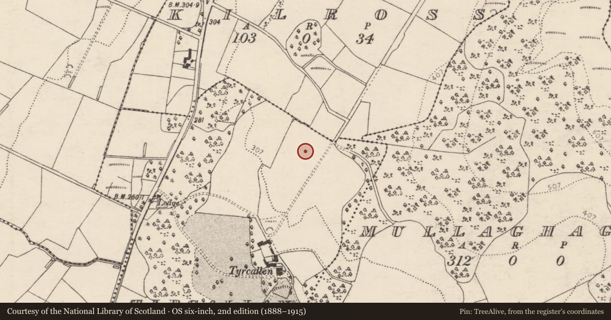
This enclosure, most likely a rath, was levelled at some unknown date in the past. It is not shown on any edition of the OS 6-inch maps. The outline of a circular enclosure is clearly visible in Lidar imagery.
A roughly circular area (diam. c. 38m) is defined by a low undulation/levelled scarp (Wth slope c. 7m; H 0.8m at SW), which can be traced at ground level at S−NE where it coincides with a natural fall of ground. It is barely discernible on the E arc, which may be the location of the original entrance. The interior is grassy, flat and featureless.
Notified to NMS by Steve McGlade.
DG069-039----_01.JPG Levelled enclosure, viewed from W
DG069-039----_02.JPG Lidar image (Open topographic data viewer)
Compiled by: Jane O'Shaughnessy
Date of upload: 10 May 2022
Nearby in the register
- Ringfort - rathunder 1 mi
- Ringfort - unclassifiedunder 1 mi
- Ringfort - cashelunder 1 mi
- Souterrainunder 1 mi
Other entries of the same register within about three miles of this one, by straight line.