Sites and Monuments Record · Ireland
Graveslab
Clonca, County Donegal, Ireland
The record
- Townland
- Clonca
- County
- Donegal
- Country
- Ireland
- First-edition OS map
- Not indicated
- Latest-edition OS map
- Not indicated
- Coordinates
- 55.26786, -7.17345
- SMR number
- DG012-002013-
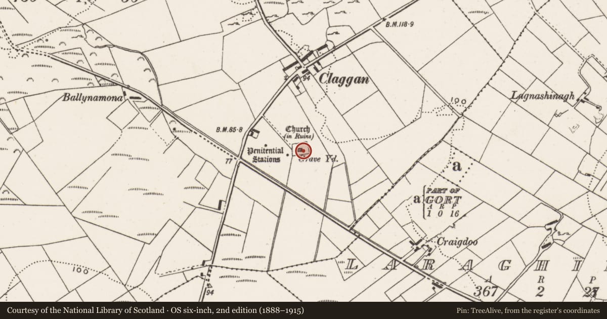
Slide toward Today to fade the historical sheet and see the modern map underneath.
David Rumsey Map Collection, Stanford LibrariesDavid Rumsey Map Collection, Stanford LibrariesDavid Rumsey Map Collection, Stanford LibrariesDavid Rumsey Map Collection, Stanford Libraries
4 historical maps cover this location, the earliest the 1841 map "Ireland." (David Rumsey Map Collection, Stanford Libraries).
Historical maps covering this location
- 1841 · Ireland. (David Rumsey Map Collection, Stanford Libraries)
- 1881 · Ireland to Illustrate the Military Condition of the Country. (David Rumsey Map Collection, Stanford Libraries)
- 1883 · Scotland. (David Rumsey Map Collection, Stanford Libraries)
- 1900 · Ireland (David Rumsey Map Collection, Stanford Libraries)
This record in the National Monuments Service's Historic Environment Viewer ↗
The National Monuments Service's description
In Clonca church (DG012-002001-). This plain, rectangular graveslab (L 2.12m; Wth 0.91m; T 0.14m) lies on the ground at the E end of the church. The inscription, carved in 10 regular lines, fills the upper half of slab, and names Charles Davenport esquire, who died in 1697, and his wife Margaret.
Attached images:
DG012-002013-_01.JPG Graveslab viewed from SE
DG012-002013-_02.JPG Inscription on graveslab
Compiled by: Jane O'Shaughnessy
Date of upload: 28 October 2021
Nearby in the register
- Churchunder 1 mi
- Architectural fragmentunder 1 mi
- Graveslabunder 1 mi
- Graveslabunder 1 mi
Other entries of the same register within about three miles of this one, by straight line.