Sites and Monuments Record · Ireland
Rock art
Crannagh, County Carlow, Ireland
The record
- Townland
- Crannagh
- County
- Carlow
- Country
- Ireland
- Coordinates
- 52.60654, -6.79582
- SMR number
- CW023-027----
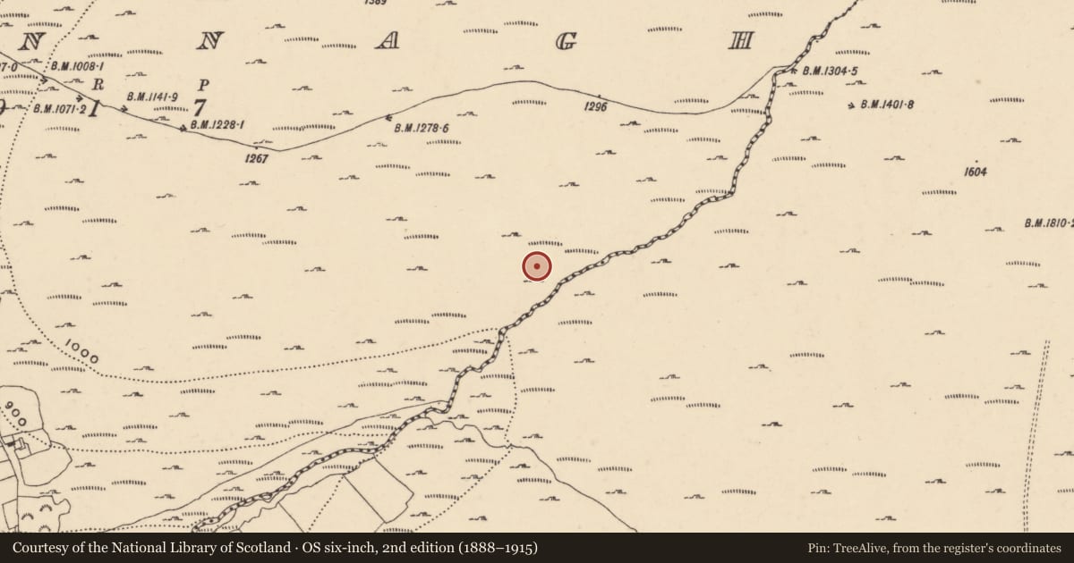
Slide toward Today to fade the historical sheet and see the modern map underneath.
University Library, Vrije Universiteit AmsterdamDavid Rumsey Map Collection, Stanford LibrariesUniversity Library, Vrije Universiteit AmsterdamDavid Rumsey Map Collection, Stanford Libraries
4 historical maps cover this location, the earliest the 1790 map "Composite: Ireland." (David Rumsey Map Collection, Stanford Libraries).
Historical maps covering this location
- 1790 · Composite: Ireland. (David Rumsey Map Collection, Stanford Libraries)
- 1891 · Ireland 16 (David Rumsey Map Collection, Stanford Libraries)
- 1904 · Sheet 14, 1904 (University Library, Vrije Universiteit Amsterdam)
- 1911 · Sheet 14, 1911 (University Library, Vrije Universiteit Amsterdam)
This record in the National Monuments Service's Historic Environment Viewer ↗
The National Monuments Service's description
Situated on the lower, S facing slopes of the Mountain River valley on the SW slopes of Mount Leinster. The summit of Mount Leinster dominates the head of the valley at the NE, and the summit of Knockroe dominates the view to the S. Elsewhere, the views out of the valley have quite a restricted visual field in a SW direction only, and are dominated by Brandon Hill and the Coppanagh Hills, as well as the distant summit of Slievenamon, Co. Tipperary.
A large, low-level earthfast boulder (2m NW-SE, 1.6m NE-SW, H 0.2m) the surface of which falls 15cm from NW to SE. Near the W edge is a small cup mark (diam. 4cm; D 1cm) enclosed by four circles. The outer circle has a diam. of 32cm. Nearby is a cup (diam. 3.5cm; D 0.5cm) enclosed by a single ring, beside which is a cup (diam. 4cm; D 1cm) enclosed by two rings (total diam. 20cm). Near the centre of the stone are two further cup marks. All the motifs are very faint. Immediately to the N is another low-level boulder on which there are no markings.
Compiled by: Claire Breen and Chris Corlett
Date of upload: 5 October 2011
Nearby in the register
- Rock artunder 1 mi
- House - indeterminate dateunder 1 mi
- Ringfort - cashelunder 1 mi
- Standing stoneunder 1 mi
Other entries of the same register within about three miles of this one, by straight line.