Sites and Monuments Record · Ireland
Cursus
Knockendrane, County Carlow, Ireland
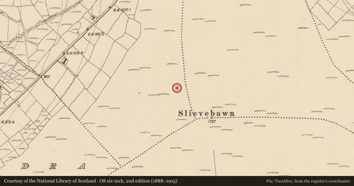
The record
- Townland
- Knockendrane
- County
- Carlow
- Country
- Ireland
- First-edition OS map
- Not indicated
- Latest-edition OS map
- Not indicated
- Coordinates
- 52.64023, -6.81202
- SMR number
- CW020-026----
Slide toward Today to fade the historical sheet and see the modern map underneath.
David Rumsey Map Collection, Stanford LibrariesUniversity Library, Vrije Universiteit AmsterdamDavid Rumsey Map Collection, Stanford LibrariesDavid Rumsey Map Collection, Stanford Libraries
4 historical maps cover this location, the earliest the 1790 map "Composite: Ireland." (David Rumsey Map Collection, Stanford Libraries).
Historical maps covering this location
- 1790 · Composite: Ireland. (David Rumsey Map Collection, Stanford Libraries)
- 1869 · Ireland. (David Rumsey Map Collection, Stanford Libraries)
- 1891 · Ireland 16 (David Rumsey Map Collection, Stanford Libraries)
- 1904 · Sheet 14, 1904 (University Library, Vrije Universiteit Amsterdam)
This record in the National Monuments Service's Historic Environment Viewer ↗
The National Monuments Service's description
On the NW slope of Slievebawn. A possible cursus (L c. 270m) identified on OSI aerial (2005 ed.) consisting of two parallel banks or grass/heather/turf-covered walls (Wth 2-2.6m; H 0.2-0.8m) composed of schist and quartz (pers. comm. Ivor Kenny, 10 July 2014). The lower portion of the monument runs NW-SE for c. 160m and is 31m wide, while the upper portion changes direction slightly, running NNW-SSE for c. 113m and is slightly narrower, 22m wide. The lower portion of the cursus is aligned with a circular cairn (CW020-016----) on the summit of the mountain. This cairn is c. 135m SE of the SE end of the monument. The upper portion of the cursus is aligned with a cairn (CW023-007----/WX008-001----) 3km to the SE on the summit of Mount Leinster, on the Carlow-Wexford border. There is another possible cursus (CW020-027----) c. 1.7km to the E-ESE in the townland of Coolasnaghta. The monument is similar to a possible cursus (WI027-089----) on Keadeen Mountain, Co. Wicklow and one on Brewel Hill (KD032-058----) in Co. Kildare. (Kenny 2014)
Compiled by: Jean Farrelly
Date of upload: 28 July 2014
References
Kenny, I. 2014 Another cursus comes to light. Archaeology Ireland 28 (3), 21-5.
Nearby in the register
- Cairn - unclassifiedunder 1 mi
- House - indeterminate dateunder 1 mi
- House - indeterminate dateunder 1 mi
- Ringfort - rathunder 1 mi
Other entries of the same register within about three miles of this one, by straight line.