Sites and Monuments Record · Ireland
Headstone
Kilmore Upper, County Cavan, Ireland
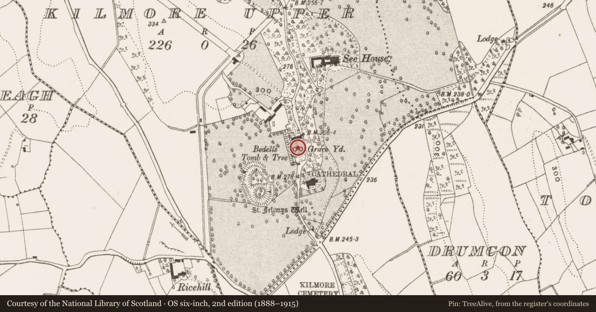
The record
- Townland
- Kilmore Upper
- County
- Cavan
- Country
- Ireland
- First-edition OS map
- Not indicated
- Latest-edition OS map
- Not indicated
- Coordinates
- 53.98067, -7.41533
- SMR number
- CV025-070005-
Slide toward Today to fade the historical sheet and see the modern map underneath.
David Rumsey Map Collection, Stanford LibrariesDavid Rumsey Map Collection, Stanford LibrariesDavid Rumsey Map Collection, Stanford LibrariesDavid Rumsey Map Collection, Stanford Libraries
4 historical maps cover this location, the earliest the 1636 map "Vltoniae Orientalis Pars" (David Rumsey Map Collection, Stanford Libraries).
Historical maps covering this location
- 1636 · Vltoniae Orientalis Pars (David Rumsey Map Collection, Stanford Libraries)
- 1790 · Composite: Ireland. (David Rumsey Map Collection, Stanford Libraries)
- 1869 · Ireland. (David Rumsey Map Collection, Stanford Libraries)
- 1891 · Ireland 16 (David Rumsey Map Collection, Stanford Libraries)
This record in the National Monuments Service's Historic Environment Viewer ↗
The National Monuments Service's description
Within the graveyard associated with the old cathedral of Kilmore (CV025-070004-). This is a cross-shaped stone (H 0.7m; span 0.33m; T 0.14m) with a disc head (diam. 0.45m). On the E-face is the inscribed legend: IHS / HERE LYETH / THE BODY OF / PRINSER / DAN WHO DIED / THE IIT / H DAY / OF NOV / EMBE / R 1680. The name is not certain. The W face has a wide cross in slightly raised panels extending the full length and breadth of the stone. Linked incised circles form a crude cross on the disc head and incised arcs outline another cross at the crux.
See the attached views _1 from E; _2 from W
Compiled by: Michael Moore
Date of upload: 16 March 2020
Nearby in the register
- Graveyardunder 1 mi
- Tomb - chest tombunder 1 mi
- Cathedralunder 1 mi
- Ecclesiastical residenceunder 1 mi
Other entries of the same register within about three miles of this one, by straight line.