Sites and Monuments Record · Ireland
Cairn - unclassified
Burren (Tullyhaw By., Tuam ED), County Cavan, Ireland
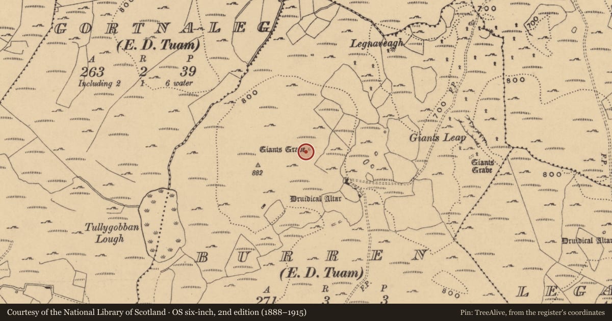
The record
- Townland
- Burren (Tullyhaw By., Tuam ED)
- County
- Cavan
- Country
- Ireland
- Latest-edition OS map
- Not indicated
- Coordinates
- 54.26604, -7.88684
- SMR number
- CV004-003002-
Slide toward Today to fade the historical sheet and see the modern map underneath.
David Rumsey Map Collection, Stanford LibrariesDavid Rumsey Map Collection, Stanford LibrariesDavid Rumsey Map Collection, Stanford LibrariesDavid Rumsey Map Collection, Stanford Libraries
4 historical maps cover this location, the earliest the 1869 map "Ireland." (David Rumsey Map Collection, Stanford Libraries).
Historical maps covering this location
- 1869 · Ireland. (David Rumsey Map Collection, Stanford Libraries)
- 1891 · Ireland 16 (David Rumsey Map Collection, Stanford Libraries)
- 1904 · Sheet 4. (David Rumsey Map Collection, Stanford Libraries)
- 1922 · Ireland - northern section. (David Rumsey Map Collection, Stanford Libraries)
This record in the National Monuments Service's Historic Environment Viewer ↗
The National Monuments Service's description
Situated 10m SW of a wedge tomb (CV004-003----). The cairn has been disturbed by tree-planting. It is round in outline, 5.5m in diameter and up to 1m high. Inward-leaning kerbstones survive along its southern half. These are generally 0.5m x 0.8m high with the exception of two at SE and one at W which are each 1.2m high. (Lowry-Corry and Richardson 1937, 168; de Valera and Ó Nualláin 1972, 105, no. 3; Sherlock 2007, 74, Burren 1)
The above description is derived from the published 'Archaeological Inventory of County Cavan' (Dublin: Stationery Office, 1995), no. 128.
Date of upload: 16 November 2012
References
Sherlock, R. 2007 Northwest Co. Cavan Survey. An archaeological survey of northwest Cavan: the other Burren. Monograph 1. Dublin. Archaeological Development Services Ltd.
de Valera, R. and Ó Nualláin, S. 1972 Survey of the megalithic tombs of Ireland, vol. 3, Counties Galway, Roscommon, Leitrim, Longford, Westmeath, Laoighis, Offaly, Kildare, Cavan. Dublin. Stationery Office.
Lowry-Corry, D. and Richardson, P. 1937 Megalithic monuments in the Parish of Killinagh, Co. Cavan. Journal of the Royal Society of Antiquaries of Ireland 67, 155-75.
Nearby in the register
- Megalithic tomb - wedge tombunder 1 mi
- Rock artunder 1 mi
- Megalithic tomb - portal tombunder 1 mi
- Rock artunder 1 mi
Other entries of the same register within about three miles of this one, by straight line.