Sites and Monuments Record · Ireland
House - 18th/19th century
Shanacrane West, County Cork, Ireland
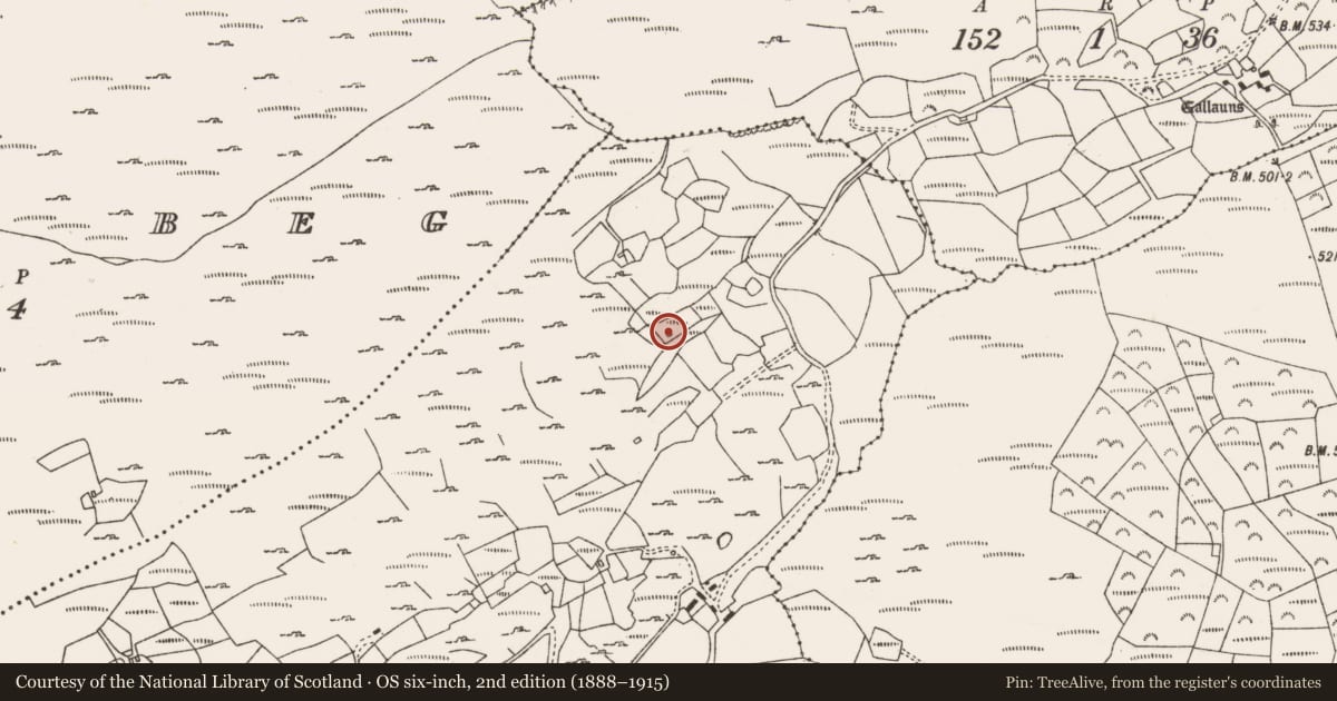
The record
- Townland
- Shanacrane West
- County
- Cork
- Country
- Ireland
- Coordinates
- 51.77882, -9.21564
- SMR number
- CO093-113----
Slide toward Today to fade the historical sheet and see the modern map underneath.
David Rumsey Map Collection, Stanford LibrariesDavid Rumsey Map Collection, Stanford LibrariesDavid Rumsey Map Collection, Stanford LibrariesDavid Rumsey Map Collection, Stanford Libraries
4 historical maps cover this location, the earliest the 1790 map "Composite: Ireland." (David Rumsey Map Collection, Stanford Libraries).
Historical maps covering this location
- 1790 · Composite: Ireland. (David Rumsey Map Collection, Stanford Libraries)
- 1882 · Ireland (southern half). (David Rumsey Map Collection, Stanford Libraries)
- 1883 · Ireland 3. (David Rumsey Map Collection, Stanford Libraries)
- 1891 · Ireland 16 (David Rumsey Map Collection, Stanford Libraries)
This record in the National Monuments Service's Historic Environment Viewer ↗
The National Monuments Service's description
Small rectangular house or cabin which has been partially built into the base of a south facing slope. It is orientated NE-SW with internal measurements of 4.6m L by 2.45m W with a maximum height of 1.7m at the W gable. The rear (N) wall is almost completely dug into the slope with just a single course of stones at ground level. The front wall is built up to a H of c.1m with a 0.8m wide door opening in it. It is sheltered to the west by a large boulder and faces a small stream to the south.
Though probably only constructed in the 19th Century this building is of interest as it appears to be an example of a type of cabin the very poorest in society would have built, possibly for temporary farm labourers.
Compiled by: Tony Miller
Date of upload/revision: 14 November 2018
Nearby in the register
- Enclosureunder 1 mi
- Field boundaryunder 1 mi
- Fulacht fiaunder 1 mi
- Fulacht fiaunder 1 mi
Other entries of the same register within about three miles of this one, by straight line.