Sites and Monuments Record · Ireland
Bullaun stone
Derrynafinchin, County Cork, Ireland
The record
- Townland
- Derrynafinchin
- County
- Cork
- Country
- Ireland
- Coordinates
- 51.80430, -9.38155
- SMR number
- CO092-001004-
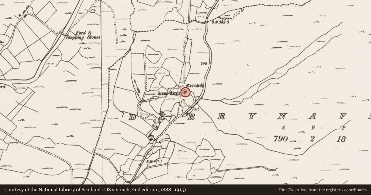
Slide toward Today to fade the historical sheet and see the modern map underneath.
David Rumsey Map Collection, Stanford LibrariesDavid Rumsey Map Collection, Stanford LibrariesDavid Rumsey Map Collection, Stanford LibrariesDavid Rumsey Map Collection, Stanford Libraries
4 historical maps cover this location, the earliest the 1790 map "Composite: Ireland." (David Rumsey Map Collection, Stanford Libraries).
Historical maps covering this location
- 1790 · Composite: Ireland. (David Rumsey Map Collection, Stanford Libraries)
- 1882 · Ireland (southern half). (David Rumsey Map Collection, Stanford Libraries)
- 1883 · Ireland 3. (David Rumsey Map Collection, Stanford Libraries)
- 1891 · Ireland 16 (David Rumsey Map Collection, Stanford Libraries)
This record in the National Monuments Service's Historic Environment Viewer ↗
The National Monuments Service's description
This monument was brought to the attention of ASI by the archaeologist Tony Miller on 25th June 2012. The following is his description of the monument:
"Located within the stone circle at Derrynafinchin in the Borlin Valley (CO092-001001). A bullaun which is on the upper surface of a rectangular stone lying on the ground, next to the local road which skirts the stone circle. The stone is c. 1.4m north-south, 0.8m east-west and c. 0.3m thick. The sub-circular bullaun, which is off centre on the stone, measures 0.28m north-south by 0.2m east-west and c. 0.18m deep."
Nearby in the register
- Stone circle - multiple-stoneunder 1 mi
- Boulder-burialunder 1 mi
- Mass-rockunder 1 mi
- Ritual site - holy wellunder 1 mi
Other entries of the same register within about three miles of this one, by straight line.