Sites and Monuments Record · Ireland
Kerb circle
Coolineagh, County Cork, Ireland
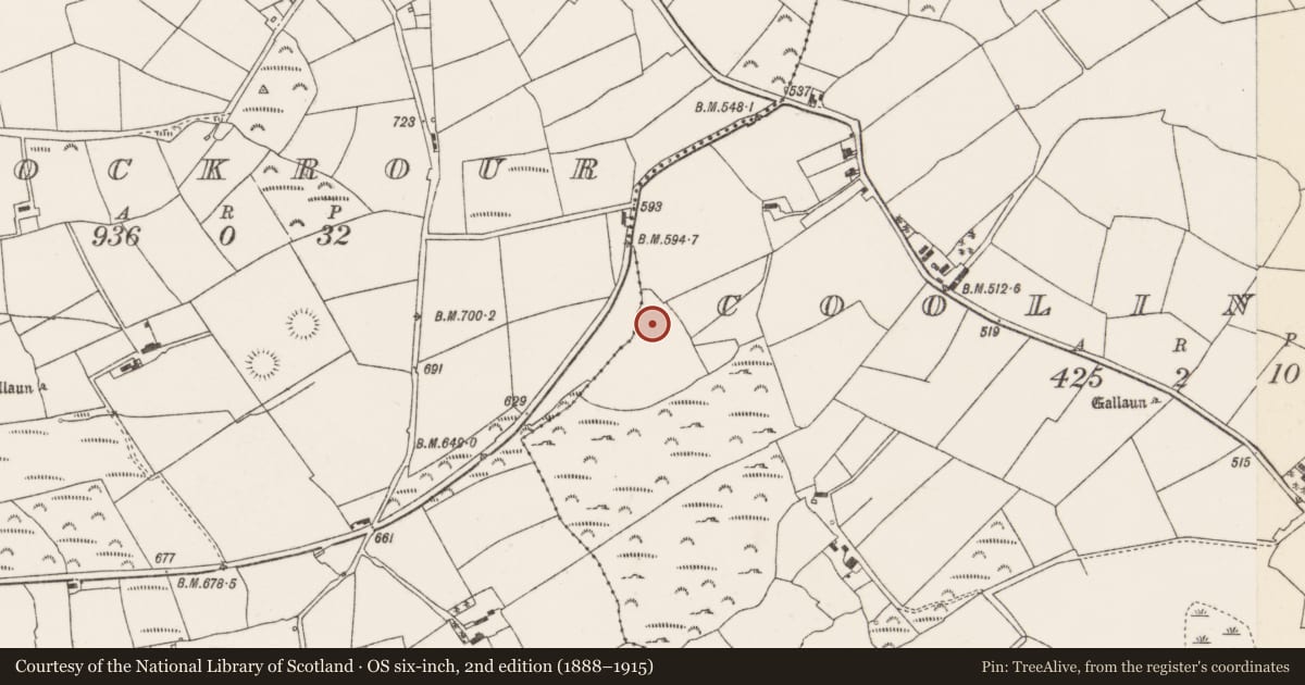
The record
- Townland
- Coolineagh
- County
- Cork
- Country
- Ireland
- First-edition OS map
- NULL
- Latest-edition OS map
- Not indicated
- Coordinates
- 51.95644, -8.83366
- SMR number
- CO060-199----
Slide toward Today to fade the historical sheet and see the modern map underneath.
David Rumsey Map Collection, Stanford LibrariesDavid Rumsey Map Collection, Stanford LibrariesDavid Rumsey Map Collection, Stanford LibrariesDavid Rumsey Map Collection, Stanford Libraries
4 historical maps cover this location, the earliest the 1790 map "Composite: Ireland." (David Rumsey Map Collection, Stanford Libraries).
Historical maps covering this location
- 1790 · Composite: Ireland. (David Rumsey Map Collection, Stanford Libraries)
- 1882 · Ireland (southern half). (David Rumsey Map Collection, Stanford Libraries)
- 1883 · Ireland 3. (David Rumsey Map Collection, Stanford Libraries)
- 1891 · Ireland 16 (David Rumsey Map Collection, Stanford Libraries)
This record in the National Monuments Service's Historic Environment Viewer ↗
The National Monuments Service's description
In pasture, on a slight NNW-facing slope. The remains of a small circular enclosure (diam. 3.5m), defined by an arc of low slabs (H c. 0.2m) set on edge SE-NW, sit on top of a low earthen mound (diam. 8m; H 0.4m). The enclosing element is missing NW-SE where the mound has been disturbed. Large stones have been dumped on the E half of the mound. There is a spread (diam. 1m) of small stones in the centre of the enclosure. A single upright stone (H 1.07m), diamond-shaped in plan, roughly rectangular in section and orientated E-W, stands on the mound, immediately outside the enclosing element at W. Packing-stones are visible at the base and a slab is used as packing on its N side. According to local information, there is a tradition that this monument is associated with Hugh O'Neill who is said to have camped here on his way to the Battle of Kinsale (1601).
The above description is derived from 'The Archaeological Inventory of County Cork. Volume 5' (Dublin: Stationery Office, 2009).
Date of upload: 22 December 2009
Nearby in the register
- Churchunder 1 mi
- Ringfort - rathunder 1 mi
- Souterrainunder 1 mi
- Ringfort - rathunder 1 mi
Other entries of the same register within about three miles of this one, by straight line.