Sites and Monuments Record · Ireland
Church
Ballyneague, County Cork, Ireland
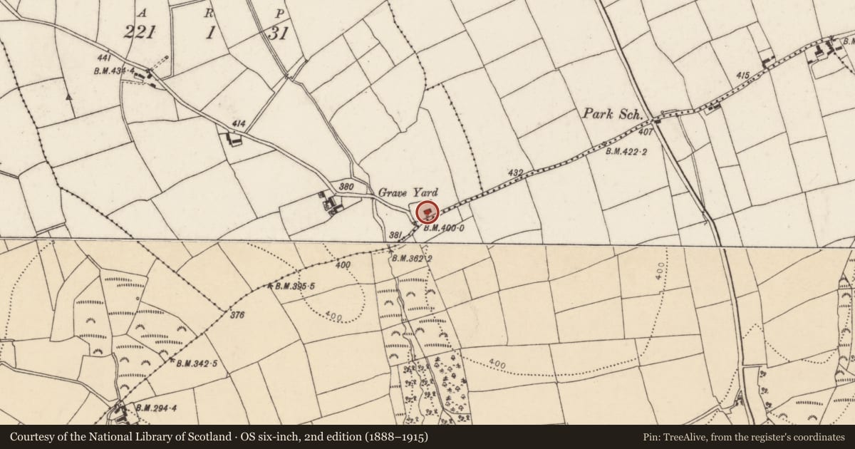
The record
- Townland
- Ballyneague
- County
- Cork
- Country
- Ireland
- Latest-edition OS map
- Indicated (1936)
- Coordinates
- 51.98335, -7.94857
- SMR number
- CO056-001002-
Slide toward Today to fade the historical sheet and see the modern map underneath.
David Rumsey Map Collection, Stanford LibrariesDavid Rumsey Map Collection, Stanford LibrariesDavid Rumsey Map Collection, Stanford LibrariesDavid Rumsey Map Collection, Stanford Libraries
4 historical maps cover this location, the earliest the 1790 map "Composite: Ireland." (David Rumsey Map Collection, Stanford Libraries).
Historical maps covering this location
- 1790 · Composite: Ireland. (David Rumsey Map Collection, Stanford Libraries)
- 1865 · Ireland, (South) Sheet. (David Rumsey Map Collection, Stanford Libraries)
- 1882 · Ireland (southern half). (David Rumsey Map Collection, Stanford Libraries)
- 1891 · Ireland 16 (David Rumsey Map Collection, Stanford Libraries)
This record in the National Monuments Service's Historic Environment Viewer ↗
The National Monuments Service's description
In S side of graveyard (CO056-00101-), ruins of rectangular gabled church (12.8m E-W; 7.2m N-S). Walls stand to full height except E which has lost gable top. Door and window ope in S wall; large window ope in E wall missing top; window in W wall with pointed brick arch. Blocked doorway in N wall; outer cut-stone door surround has pointed arch and chamfered edge, lower jambs gone; hood moulding directly above arch of door, with stepped terminals. Site of parish church of Ardagh, reported in ruins by 1615 (Brady 1867, vol. 2, 21); apparently rebuilt as C of I parish church shortly afterwards; 1837 report describes church as 'so old that the date and cost of its erection are unascertainable' (ibid., 25); probably abandoned when parish united to Youghal in 1872 (Cole 1903, 154). Door in N wall of late medieval appearance and probably reset when church rebuilt; its original position would be opposite in S wall.
The above description is derived from the published 'Archaeological Inventory of County Cork. Volume 2: East and South Cork' (Dublin: Stationery Office, 1994). In certain instances the entries have been revised and updated in the light of recent research.
Date of upload/revision: 14 January 2009
Nearby in the register
- Graveyardunder 1 mi
- House - vernacular houseunder 1 mi
- Hillfortunder 1 mi
- Ringfort - rathunder 1 mi
Other entries of the same register within about three miles of this one, by straight line.