Sites and Monuments Record · Ireland
Ringfort - rath
Knockagolig, County Cork, Ireland
The record
- Townland
- Knockagolig
- County
- Cork
- Country
- Ireland
- First-edition OS map
- NULL
- Latest-edition OS map
- Hachured (1842)
- Coordinates
- 52.24114, -8.84350
- SMR number
- CO015-070----
Slide toward Today to fade the historical sheet and see the modern map underneath.
David Rumsey Map Collection, Stanford LibrariesDavid Rumsey Map Collection, Stanford LibrariesDavid Rumsey Map Collection, Stanford LibrariesDavid Rumsey Map Collection, Stanford Libraries
4 historical maps cover this location, the earliest the 1790 map "Composite: Ireland." (David Rumsey Map Collection, Stanford Libraries).
This record in the National Monuments Service's Historic Environment Viewer ↗
The National Monuments Service's description
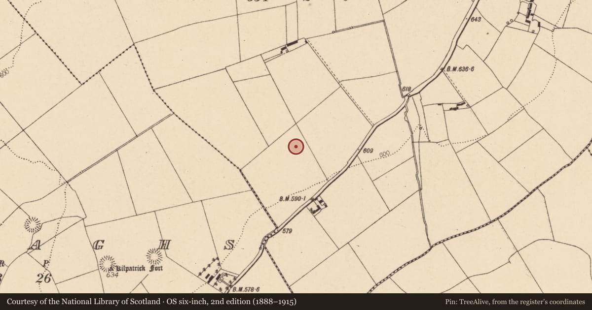
In pasture, on gentle S-facing slope. Depicted as hachured circular enclosure (diam. c. 25m) on 1842 OS 6-inch map. Levelled; no visible surface trace.
The above description is derived from the published 'Archaeological Inventory of County Cork. Volume 4: North Cork' (Dublin: Stationery Office, 2000). In certain instances the entries have been revised and updated in the light of recent research.
Date of upload/revision: 14 January 2009
Nearby in the register
- Ringfort - rathunder 1 mi
- Enclosureunder 1 mi
- Churchunder 1 mi
- Ringfort - rathunder 1 mi
Other entries of the same register within about three miles of this one, by straight line.