Sites and Monuments Record · Ireland
Coffin-resting stone
Cloonmoney, County Clare, Ireland
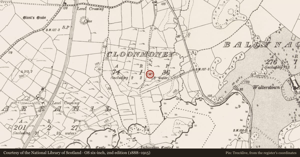
The record
- Townland
- Cloonmoney
- County
- Clare
- Country
- Ireland
- First-edition OS map
- Not indicated
- Latest-edition OS map
- Not indicated
- Coordinates
- 52.93177, -8.89591
- SMR number
- CL026-196----
Slide toward Today to fade the historical sheet and see the modern map underneath.
David Rumsey Map Collection, Stanford LibrariesDavid Rumsey Map Collection, Stanford LibrariesDavid Rumsey Map Collection, Stanford LibrariesDavid Rumsey Map Collection, Stanford Libraries
4 historical maps cover this location, the earliest the 1753 map "Mappa geographica Regni Hiberniae" (David Rumsey Map Collection, Stanford Libraries).
Historical maps covering this location
- 1753 · Mappa geographica Regni Hiberniae (David Rumsey Map Collection, Stanford Libraries)
- 1790 · Composite: Ireland. (David Rumsey Map Collection, Stanford Libraries)
- 1869 · Ireland. (David Rumsey Map Collection, Stanford Libraries)
- 1891 · Ireland 16 (David Rumsey Map Collection, Stanford Libraries)
This record in the National Monuments Service's Historic Environment Viewer ↗
The National Monuments Service's description
Situated in a rough overgrown area c. 10m E of a pathway to Inchicronan Abbey (CL026-014001-) indicated on the OS 25-inch map. Two undisturbed coffin-resting stones, 0.8m apart, one larger limestone one apparently used for adult coffins and a smaller one for children’s coffins. The larger stone (L 1.7m; Wth 0.93m, H 0.4m) is a natural limestone block aligned E-W. The surface slopes slightly to the W and is mostly flat with an uneven portion at E. The smaller stone (L 0.64m; Wth 0.54m; H 0.41m) is of sandstone and is aligned NE-SW with a flat and level surface and a straight edge at NW. There is no carving evident on either of the two stones. A Co. Council quarry is in the field to the S separated by a field boundary at a distance of c. 8m.
Compiled by: Mary Tunney
Date of upload: 7 June 2016
Nearby in the register
- Wellunder 1 mi
- Castle - unclassifiedunder 1 mi
- Ringfort - rathunder 1 mi
- Souterrainunder 1 mi
Other entries of the same register within about three miles of this one, by straight line.