Sites and Monuments Record · Ireland
Ringfort - cashel
Teernea, County Clare, Ireland
The record
- Townland
- Teernea
- County
- Clare
- Country
- Ireland
- First-edition OS map
- Hachured
- Latest-edition OS map
- Hachured
- Coordinates
- 52.95972, -8.98758
- SMR number
- CL017-098002-
Slide toward Today to fade the historical sheet and see the modern map underneath.
David Rumsey Map Collection, Stanford LibrariesDavid Rumsey Map Collection, Stanford LibrariesDavid Rumsey Map Collection, Stanford LibrariesDavid Rumsey Map Collection, Stanford Libraries
4 historical maps cover this location, the earliest the 1753 map "Mappa geographica Regni Hiberniae" (David Rumsey Map Collection, Stanford Libraries).
Historical maps covering this location
- 1753 · Mappa geographica Regni Hiberniae (David Rumsey Map Collection, Stanford Libraries)
- 1790 · Composite: Ireland. (David Rumsey Map Collection, Stanford Libraries)
- 1869 · Ireland. (David Rumsey Map Collection, Stanford Libraries)
- 1891 · Ireland 16 (David Rumsey Map Collection, Stanford Libraries)
This record in the National Monuments Service's Historic Environment Viewer ↗
The National Monuments Service's description
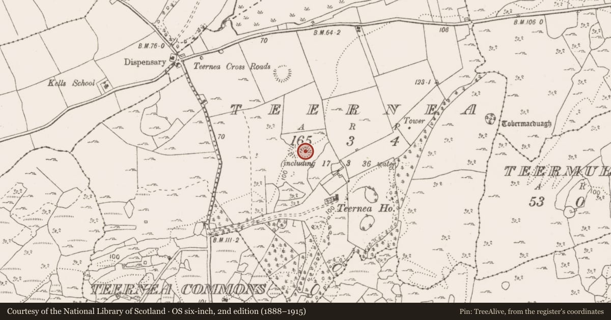
In hazel scrub on a N-facing slope, and abutting the E side of an adjoining cashel (CL017-098----). Hachured on both the first (1842 and Cassini (1916) editions of the OS 6-inch map. Classified as an ‘enclosure (conjoined)’ in the RMP (1996). Described by Westropp (1913, 242) as a ‘curious fort, 8-shaped in plan, of two equal rings, and excellent masonry with two faces and filling. It seems to have been built in one piece: the wall is usually 4 feet [c. 1.2m] to 4 feet 6 inches [c. 1.4m] high’.
An oval cashel (int. diams 26.2m NE-SW; 23.1m NW-SE) has been significantly denuded since Westropp’s visit and is defined by a collapsed stone spread (Wth 3-6m; H 0.6-1m). A modern-looking gap connects the monument to the abutting cashel (CL017-098----) to the W. Internally, an amorphous clearance cairn (diam. c.7m) lies at the centre.
Compiled by: Gearóid Conroy
Date of upload: 21-10-2025
References
Westropp, T.J. 1913 Prehistoric remains (forts and dolmens) in the Corofin district, Co. Clare (no. 11). Journal of the Royal Society of Antiquaries 43, 232-60.
Nearby in the register
- Ringfort - cashelunder 1 mi
- Ringfort - cashelunder 1 mi
- Structureunder 1 mi
- Ritual site - holy wellunder 1 mi
Other entries of the same register within about three miles of this one, by straight line.