Sites and Monuments Record · Ireland
Quarry
Termon, County Clare, Ireland
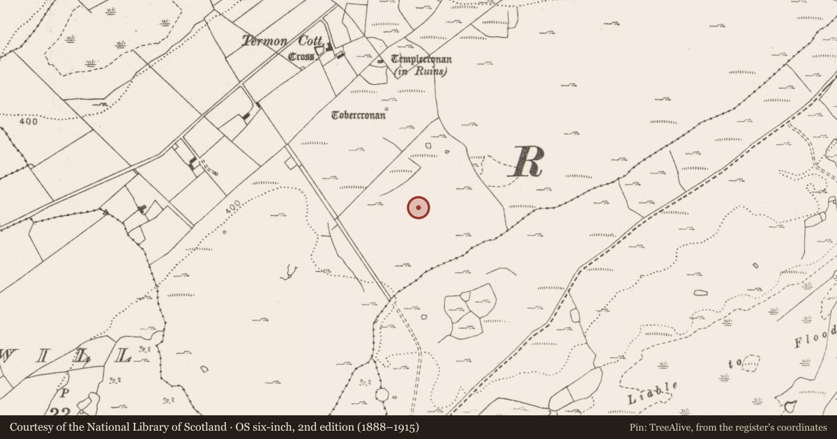
The record
- Townland
- Termon
- County
- Clare
- Country
- Ireland
- First-edition OS map
- Not indictaed
- Latest-edition OS map
- Not indicated
- Coordinates
- 53.04350, -9.05991
- SMR number
- CL010-237----
Slide toward Today to fade the historical sheet and see the modern map underneath.
David Rumsey Map Collection, Stanford LibrariesDavid Rumsey Map Collection, Stanford LibrariesDavid Rumsey Map Collection, Stanford LibrariesDavid Rumsey Map Collection, Stanford Libraries
4 historical maps cover this location, the earliest the 1753 map "Mappa geographica Regni Hiberniae" (David Rumsey Map Collection, Stanford Libraries).
Historical maps covering this location
- 1753 · Mappa geographica Regni Hiberniae (David Rumsey Map Collection, Stanford Libraries)
- 1790 · Composite: Ireland. (David Rumsey Map Collection, Stanford Libraries)
- 1869 · Ireland. (David Rumsey Map Collection, Stanford Libraries)
- 1891 · Ireland 16 (David Rumsey Map Collection, Stanford Libraries)
This record in the National Monuments Service's Historic Environment Viewer ↗
The National Monuments Service's description
Situated in an area of rock outcrop and scrub. An inscribed 18th-century limestone slab (L 2.05m; Wth 0.76m; T 0.12m) quarried out and set up on support stones to facilitate inscription. The slab has tipped off its support stones. The inscription (no longer easily legible) reads: 'Here lies the body of Cornelius O'Brien who departed this life 1735 Erected by his son Murthogh O'Brien'. Above the inscription are the letters 'IHS' with a cross rising from the bar of the 'H'. Two raised forearms, one at each side carry swords. An unworked stone stands as a marker immediately to NW. The slab is likely to have been intended for use elsewhere, possibly at Glencolumkille (CL010-038002-) where a Turlogh O'Brien (d. 1735) appears to be buried under a plain unmarked ledger slab. Similar slabs (although with no visible inscriptions) were quarried 40m to SE (CL010-238---), 60m to NE (CL010-131----) and 500m to SW (CL010-213----). This quarry was reported to the National Monuments Service by Nick Geh.
The following images have been uploaded:
CL010-237----_01.jpg View of slab in wet conditions with inscription barely visible (photo: Nick Geh).
CL010-237----_02.jpg Inscription as deciphered (courtesy Nick Geh).
CL010-237----_03.jpg View of slab in dry conditions.
Compiled by: Mary Tunney
Date of upload: 20 February 2019
Nearby in the register
- Quarryunder 1 mi
- Quarryunder 1 mi
- Cairn - unclassifiedunder 1 mi
- Penitential stationunder 1 mi
Other entries of the same register within about three miles of this one, by straight line.