Sites and Monuments Record · Ireland
Ringfort - cashel
Tullycommon, County Clare, Ireland
The record
- Townland
- Tullycommon
- County
- Clare
- Country
- Ireland
- First-edition OS map
- Not indicated
- Latest-edition OS map
- Not indicated
- Coordinates
- 53.01637, -9.06200
- SMR number
- CL010-064085-
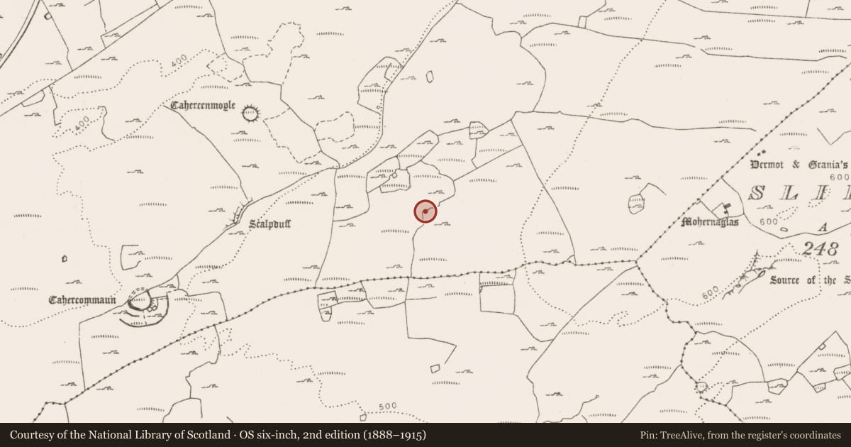
Slide toward Today to fade the historical sheet and see the modern map underneath.
David Rumsey Map Collection, Stanford LibrariesDavid Rumsey Map Collection, Stanford LibrariesDavid Rumsey Map Collection, Stanford LibrariesDavid Rumsey Map Collection, Stanford Libraries
4 historical maps cover this location, the earliest the 1753 map "Mappa geographica Regni Hiberniae" (David Rumsey Map Collection, Stanford Libraries).
Historical maps covering this location
- 1753 · Mappa geographica Regni Hiberniae (David Rumsey Map Collection, Stanford Libraries)
- 1790 · Composite: Ireland. (David Rumsey Map Collection, Stanford Libraries)
- 1869 · Ireland. (David Rumsey Map Collection, Stanford Libraries)
- 1891 · Ireland 16 (David Rumsey Map Collection, Stanford Libraries)
This record in the National Monuments Service's Historic Environment Viewer ↗
The National Monuments Service's description
On level ground on the N shoulder of a semi-karst hill, with gentle N-facing slopes to the N and S, and commanding wide views from W to N. In rough pasture within an extensive multiperiod field system (CL010-064001-). This oval-shaped cashel (int. dims. 21m E-W; 16.4m N-S) is defined by a collapsed double-faced stone wall (Wth 0.9m; H 0.3-0.5m) and associated tumble (combined Wth 2.2-3.2m). Stones of the inner wall-face are visible intermittently. There is a stretch (L c. 5m) of the perimeter at the SW without any wall or tumble; this gap appears to have been made in modern times. A later drystone wall is built over the enclosure wall from ESE to S. There is a hut site (CL010-064086-) at the W edge of the interior. The E side is conjoined with a slightly larger and more substantial cashel (CL010-064067-). There is an enclosure (CL010-064005-) c. 73m to the NW, and a cairn (CL010-064087-) c. 49m to the NE.
Compiled by: Mary Tunney and Conn Herriott
Date of upload: 23 May 2023
Nearby in the register
- Hut siteunder 1 mi
- Ringfort - cashelunder 1 mi
- Cairn - unclassifiedunder 1 mi
- Enclosureunder 1 mi
Other entries of the same register within about three miles of this one, by straight line.