Sites and Monuments Record · Ireland
House - medieval
Fahee North, County Clare, Ireland
The record
- Townland
- Fahee North
- County
- Clare
- Country
- Ireland
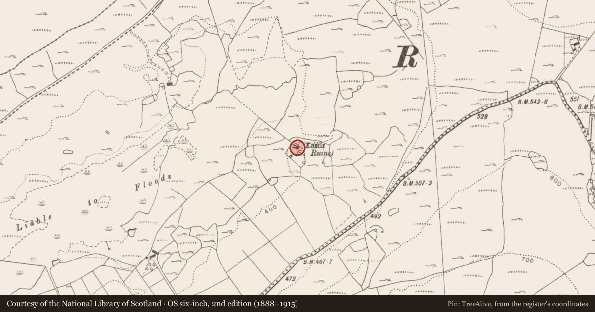
- First-edition OS map
- Indicated
- Latest-edition OS map
- Indicated
- Coordinates
- 53.04202, -9.04129
- SMR number
- CL010-027003-
Slide toward Today to fade the historical sheet and see the modern map underneath.
David Rumsey Map Collection, Stanford LibrariesDavid Rumsey Map Collection, Stanford LibrariesDavid Rumsey Map Collection, Stanford LibrariesDavid Rumsey Map Collection, Stanford Libraries
4 historical maps cover this location, the earliest the 1753 map "Mappa geographica Regni Hiberniae" (David Rumsey Map Collection, Stanford Libraries).
Historical maps covering this location
- 1753 · Mappa geographica Regni Hiberniae (David Rumsey Map Collection, Stanford Libraries)
- 1790 · Composite: Ireland. (David Rumsey Map Collection, Stanford Libraries)
- 1869 · Ireland. (David Rumsey Map Collection, Stanford Libraries)
- 1891 · Ireland 16 (David Rumsey Map Collection, Stanford Libraries)
This record in the National Monuments Service's Historic Environment Viewer ↗
The National Monuments Service's description
Situated in the N corner of a bawn (CL010-027001-). Marked as an L-shaped structure on the 1842 and 1920 eds. of the OS 6-inch map. Listed as ‘Hall’ in the RMP (1996) on the basis of Ua Cróinín and Breen’s (1996, 8) description of a banquet hall. According to their observations (ibid.), this large L-shaped medieval house (16m NW-SE; 7m NE-SW) stood near the bawn wall and was defined by crudely built walls of undressed mortared field stones. Only the gables were upstanding: the SE gable (H c. 3m) being plain, while the NW gable (H 7m) incorporated a large fireplace surmounted by a relieving stone arch. There were also vestiges of the other external walls, as well as an internal wall dividing the rectangular E section of the house from the square-shaped W section; the latter extended slightly to the SW. An inspection of the house in 1999 found it unaltered in the interim.
Compiled by: Mary Tunney and Conn Herriott
Date of upload: 5 April 2023
References
Ua Cróinín, R. and Breen, M. 1996 Some tower houses with bawns in the Burren. The Other Clare 20, 5-13.
Nearby in the register
- Castle - unclassifiedunder 1 mi
- House - medievalunder 1 mi
- Bawnunder 1 mi
- Enclosureunder 1 mi
Other entries of the same register within about three miles of this one, by straight line.