Sites and Monuments Record · Ireland
Ringfort - cashel
Ballyhomulta, County Clare, Ireland
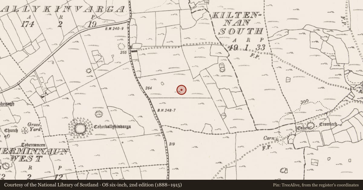
The record
- Townland
- Ballyhomulta
- County
- Clare
- Country
- Ireland
- First-edition OS map
- Not indicated
- Latest-edition OS map
- Not indicated
- Coordinates
- 52.99914, -9.18486
- SMR number
- CL009-204002-
Slide toward Today to fade the historical sheet and see the modern map underneath.
David Rumsey Map Collection, Stanford LibrariesDavid Rumsey Map Collection, Stanford LibrariesDavid Rumsey Map Collection, Stanford LibrariesDavid Rumsey Map Collection, Stanford Libraries
4 historical maps cover this location, the earliest the 1753 map "Mappa geographica Regni Hiberniae" (David Rumsey Map Collection, Stanford Libraries).
Historical maps covering this location
- 1753 · Mappa geographica Regni Hiberniae (David Rumsey Map Collection, Stanford Libraries)
- 1790 · Composite: Ireland. (David Rumsey Map Collection, Stanford Libraries)
- 1869 · Ireland. (David Rumsey Map Collection, Stanford Libraries)
- 1891 · Ireland 16 (David Rumsey Map Collection, Stanford Libraries)
This record in the National Monuments Service's Historic Environment Viewer ↗
The National Monuments Service's description
In low undulating rough pasture within a large multiperiod field system (CL009-059001-). Not listed in the SMR (1992) or the RMP (1996). This subcircular cashel (c. 23m NE-SE; 20m NW-SE) is defined by a grass-covered collapsed wall/bank. There is a hut site (CL009-204003-) in its centre. The cashel overlies the S quadrant of another (CL009-204001-). There is a road/trackway (CL009-204005-) c. 44m to W, an enclosure (CL009-155001-) c. 70m to NW, and a house of indeterminate date (CL009-204004-) c. 73m to W.
Compiled by: Conn Herriott and Gearóid Conroy
Date of upload: 12 January 2023
Nearby in the register
- Ringfort - cashelunder 1 mi
- Hut siteunder 1 mi
- Enclosureunder 1 mi
- Road - road/trackwayunder 1 mi
Other entries of the same register within about three miles of this one, by straight line.