Sites and Monuments Record · Ireland
Barrow - ring-barrow
Ballymahony, County Clare, Ireland
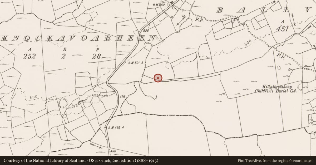
The record
- Townland
- Ballymahony
- County
- Clare
- Country
- Ireland
- First-edition OS map
- Not indicated
- Latest-edition OS map
- Not indicated
- Coordinates
- 53.02819, -9.21149
- SMR number
- CL009-012----
Slide toward Today to fade the historical sheet and see the modern map underneath.
David Rumsey Map Collection, Stanford LibrariesDavid Rumsey Map Collection, Stanford LibrariesDavid Rumsey Map Collection, Stanford LibrariesDavid Rumsey Map Collection, Stanford Libraries
4 historical maps cover this location, the earliest the 1753 map "Mappa geographica Regni Hiberniae" (David Rumsey Map Collection, Stanford Libraries).
Historical maps covering this location
- 1753 · Mappa geographica Regni Hiberniae (David Rumsey Map Collection, Stanford Libraries)
- 1790 · Composite: Ireland. (David Rumsey Map Collection, Stanford Libraries)
- 1869 · Ireland. (David Rumsey Map Collection, Stanford Libraries)
- 1891 · Ireland 16 (David Rumsey Map Collection, Stanford Libraries)
This record in the National Monuments Service's Historic Environment Viewer ↗
The National Monuments Service's description
In rough pasture near the top of a SW-facing slope, overlooking a valley to the S. Listed as ‘Potential site (air photo)’ in the RMP (1996). On inspection it proved to be a ring-barrow defined by an uneven subcircular central platform (11.3m NE–SW; 10.1m NW–SE; H 0.3–0.5m) surrounded by a fosse (Wth 4.7–5.7m; D 0.3m–0.5m), and the remains of an outer bank (Wth 3.3m; H 0.3m) from W to NW. From S to W the fosse and outer bank are cut by a drainage ditch and field bank; elsewhere no entrance or causeway are visible. The interior slopes down from the NE to SW. There is a small grass-covered mound or rise (H 0.2m) in the N part of the interior, which may be a pre-modern spoil heap.
Compiled by: Olive Alcock and Conn Herriott
Date of upload: 21 October 2021
References
Record of Monuments and Places as established under Section 12 of the National Monuments (Amendment) Act 1994, County Clare. Issued by National Monuments and Historic Properties Service 1996. Department of Arts, Heritage, Gaeltacht and the Islands.
Nearby in the register
- Enclosureunder 1 mi
- Ringfort - rathunder 1 mi
- Children's burial groundunder 1 mi
- House - indeterminate dateunder 1 mi
Other entries of the same register within about three miles of this one, by straight line.