Sites and Monuments Record · Ireland
Fulacht fia
Cappagh (Burren By.), County Clare, Ireland
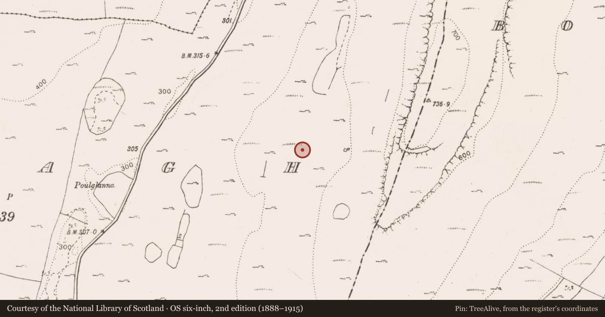
The record
- Townland
- Cappagh (Burren By.)
- County
- Clare
- Country
- Ireland
- First-edition OS map
- Not indicated
- Latest-edition OS map
- Not indicated
- Coordinates
- 53.06362, -8.99261
- SMR number
- CL006-247----
Slide toward Today to fade the historical sheet and see the modern map underneath.
David Rumsey Map Collection, Stanford LibrariesDavid Rumsey Map Collection, Stanford LibrariesDavid Rumsey Map Collection, Stanford LibrariesDavid Rumsey Map Collection, Stanford Libraries
4 historical maps cover this location, the earliest the 1753 map "Mappa geographica Regni Hiberniae" (David Rumsey Map Collection, Stanford Libraries).
Historical maps covering this location
- 1753 · Mappa geographica Regni Hiberniae (David Rumsey Map Collection, Stanford Libraries)
- 1790 · Composite: Ireland. (David Rumsey Map Collection, Stanford Libraries)
- 1869 · Ireland. (David Rumsey Map Collection, Stanford Libraries)
- 1891 · Ireland 16 (David Rumsey Map Collection, Stanford Libraries)
This record in the National Monuments Service's Historic Environment Viewer ↗
The National Monuments Service's description
On a long broad terrace on the W-facing slope of Turloughmore Mountain. A compact, roughly crescent-shaped mound (c. 10m E−W; c. 8m N−S) with a shallow, poorly defined hollow on the SW side facing a spring. It is composed of heat-shattered limestone fragments in dark grey soil, visible where portions of the mound have been eroded by cattle accessing the spring. The mound is somewhat asymmetrical in shape. The NW−E portion is more substantial, higher (H 0.75m) and well defined, with the E side abutting a rising rocky scarp. The W portion of the mound forms a low flat-topped spread (0.25m at W edge), bordered at SW by a low, partly sod-covered boulder/rock outcrop.
The following images have been uploaded:
CL006-247----_01.jpg Overall view from N
CL006-247----_02.jpg View from NE
CL006-247----_03.jpg View from SE
CL006-247----_04.jpg View from where
CL006-247----_05.jpg View from W
Compiled by: Mary Tunney and Jane O'Shaughnessy
Date of upload: 10 November 2021
Nearby in the register
- Cairn - unclassifiedunder 1 mi
- Field boundaryunder 1 mi
- Field boundaryunder 1 mi
- Fulacht fiaunder 1 mi
Other entries of the same register within about three miles of this one, by straight line.