Sites and Monuments Record · Ireland
Ritual site - holy well
Oughtdarra, County Clare, Ireland
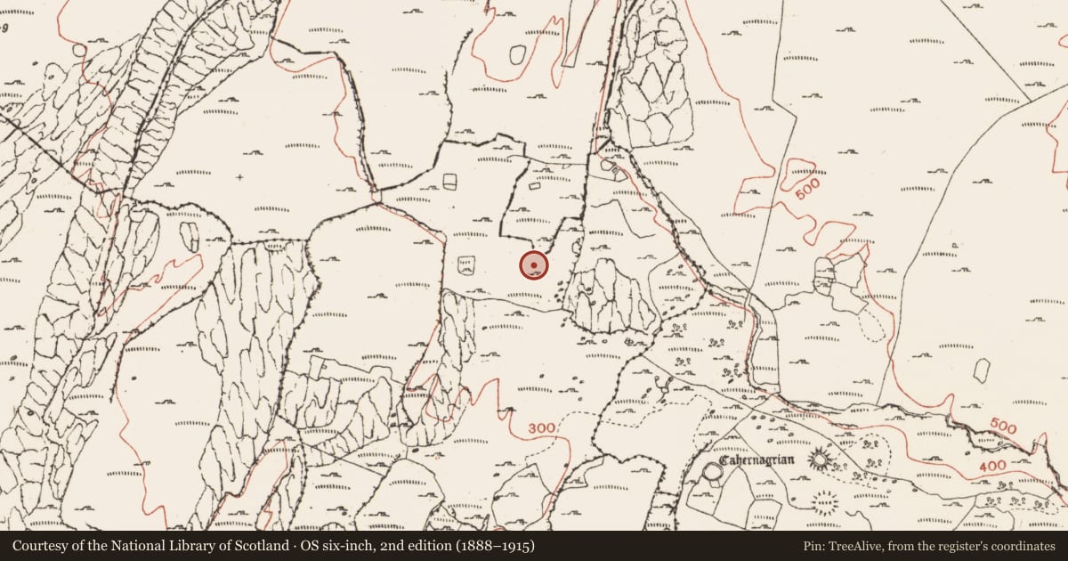
The record
- Townland
- Oughtdarra
- County
- Clare
- Country
- Ireland
- First-edition OS map
- Not indicated
- Latest-edition OS map
- Not indicated
- Coordinates
- 53.06842, -9.34174
- SMR number
- CL004-123----
Slide toward Today to fade the historical sheet and see the modern map underneath.
David Rumsey Map Collection, Stanford LibrariesDavid Rumsey Map Collection, Stanford LibrariesDavid Rumsey Map Collection, Stanford LibrariesDavid Rumsey Map Collection, Stanford Libraries
4 historical maps cover this location, the earliest the 1753 map "Mappa geographica Regni Hiberniae" (David Rumsey Map Collection, Stanford Libraries).
Historical maps covering this location
- 1753 · Mappa geographica Regni Hiberniae (David Rumsey Map Collection, Stanford Libraries)
- 1790 · Composite: Ireland. (David Rumsey Map Collection, Stanford Libraries)
- 1869 · Ireland. (David Rumsey Map Collection, Stanford Libraries)
- 1891 · Ireland 16 (David Rumsey Map Collection, Stanford Libraries)
This record in the National Monuments Service's Historic Environment Viewer ↗
The National Monuments Service's description
On an upland karstic plateau, towards the S end of in a narrow ‘valley’ between rising rocky slopes, and within an extensive field system (CL004-027001-). According to local tradition, this is a holy well (pers. comm. Pat McNamara, Dereen West, Fanore). The well is enclosed within a subrectangular enclosure (ext. 2.7m E−W; 2.2m N−S) defined by a drystone wall (Wth 0.4-0.5m; H 0.65m) built of 4-5 courses of large limestone slabs and stones, with a narrow entrance gap (Wth 0.25-0.3m) at the S end of the W wall. The E wall is built against a rising bedrock scarp. A limestone block rests on top of the enclosing wall at NE; a solution hollow on the upper surface of this stone contains a number of coins (votive offers). The well interior was dry and grassed-over on the day of visit.
The following images have been uploaded:
CL004-123----_01.jpg View from W
CL004-123----_02.jpg View from E
CL004-123----_03.jpg View from NE with stone containing coins
CL004-123----_04.jpg Stone with coins
Compiled by: Mary Tunney and Jane O'Shaughnessy
Date of upload: 10 November 2021
Nearby in the register
- Hut siteunder 1 mi
- Hut siteunder 1 mi
- Fulacht fiaunder 1 mi
- Enclosureunder 1 mi
Other entries of the same register within about three miles of this one, by straight line.