Cof Cymru: National Historic Assets of Wales · Wales
Carn Ingli Common Hut Circles
Newport, Pembrokeshire, Wales
A scheduled monument in Newport, Pembrokeshire, recorded as Unenclosed hut circle (Prehistoric).
The record
- Designation
- Scheduled monument
- Site type
- Unenclosed hut circle
- Period
- Prehistoric
- Date of designation
- 12 September 1958
- Community
- Newport
- Unitary authority
- Pembrokeshire
- Country
- Wales
- Coordinates (centre of the scheduled area)
- 51.99615, -4.83283
- SAM number
- PE309
- Cadw record number
- 2701
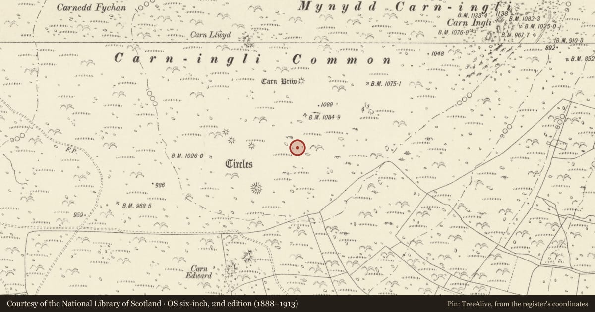
Slide toward Today to fade the historical sheet and see the modern map underneath.
David Rumsey Map Collection, Stanford LibrariesDavid Rumsey Map Collection, Stanford LibrariesDavid Rumsey Map Collection, Stanford LibrariesDavid Rumsey Map Collection, Stanford LibrariesDavid Rumsey Map Collection, Stanford Libraries
5 historical maps cover this location, the earliest the 1608 map "(13) Cambriae Typus." (David Rumsey Map Collection, Stanford Libraries).
Historical maps covering this location
- 1608 · (13) Cambriae Typus. (David Rumsey Map Collection, Stanford Libraries)
- 1891 · Sheet 10. Ordnance Survey of England and Wales. . (David Rumsey Map Collection, Stanford Libraries)
- 1898 · 210 Cardigan (Hills) (David Rumsey Map Collection, Stanford Libraries)
- 1898 · 210 Cardigan (Outline) (David Rumsey Map Collection, Stanford Libraries)
- 1901 · Sheet 13. (David Rumsey Map Collection, Stanford Libraries)
Cadw's description
Summary description and reason for designation
The summary description for this record is currently under review and a revised description is being drafted.
Nearby in the register
- Carn Briw Round CairnRound Cairnunder 1 mi
- Carn Ingli CampHillfortunder 1 mi
- Carn Llwyd ring cairnRing Cairnunder 1 mi
- Carn Ffoi Prehistoric SettlementHut Circle Settlementunder 1 mi
Other entries of the same register within about three miles of this one, by straight line.