Cof Cymru: National Historic Assets of Wales · Wales
Roman Earthwork NE of Caersws (revealed by aerial photography)
Caersws, Powys, Wales
A scheduled monument in Caersws, Powys, recorded as Earthwork (unclassified) (Roman).
The record
- Designation
- Scheduled monument
- Site type
- Earthwork (unclassified)
- Period
- Roman
- Community
- Caersws
- Unitary authority
- Powys
- Country
- Wales
- Coordinates (centre of the scheduled area)
- 52.52230, -3.41430
- SAM number
- MG161
- Cadw record number
- 357
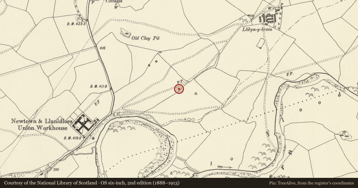
Slide toward Today to fade the historical sheet and see the modern map underneath.
David Rumsey Map Collection, Stanford LibrariesDavid Rumsey Map Collection, Stanford LibrariesDavid Rumsey Map Collection, Stanford LibrariesDavid Rumsey Map Collection, Stanford LibrariesLlyfrgell Genedlaethol Cymru – The National Library of Wales
5 historical maps cover this location, the earliest the 1637 map "Particular description of Wales. Cambria seu Wallia" (David Rumsey Map Collection, Stanford Libraries).
Historical maps covering this location
- 1637 · Particular description of Wales. Cambria seu Wallia (David Rumsey Map Collection, Stanford Libraries)
- 1795 · To Sir Watkin Williams-Wynn Bart ... the map of the six counties of North Wales is most… (Llyfrgell Genedlaethol Cymru – The National Library of Wales)
- 1883 · Watershed map England, Wales 3. (David Rumsey Map Collection, Stanford Libraries)
- 1899 · 164 Llanidloes (Hills) (David Rumsey Map Collection, Stanford Libraries)
- 1901 · Sheet 14. (David Rumsey Map Collection, Stanford Libraries)
Cadw's description
Summary description and reason for designation
The following provides a general description of the scheduled monument.
The monument consists of an earthwork probably related to the Roman fort at Caersws. It appears to comprise two camps, on the northern bank of the River Severn, partly destroyed by the sewage works, and not visible on the ground. Three parallel lines of defence (ditches) have been identified, with an entrance gap in the centre and outwork beyond.
The monument is of national importance for its potential to enhance our knowledge of defensive, agricultural or settlement organisation. It retains significant archaeological potential, with a strong probability of the presence of associated archaeological features and deposits.
The scheduled area comprises the remains described and areas around them within which related evidence may be expected to survive.
Nearby in the register
- Llys Maldwyn HospitalHealth and Welfareunder 1 mi
- Llwyn-y-brainDomesticunder 1 mi
- Maesmawr Hall HotelDomesticunder 1 mi
- Milestone outside AelbrynTransportunder 1 mi
Other entries of the same register within about three miles of this one, by straight line.