Cof Cymru: National Historic Assets of Wales · Wales
Cerrig Arthur Stone Circle
Barmouth, Gwynedd, Wales
A scheduled monument in Barmouth, Gwynedd, recorded as Stone Circle (Prehistoric).
The record
- Designation
- Scheduled monument
- Site type
- Stone Circle
- Period
- Prehistoric
- Date of designation
- 17 March 1980
- Community
- Barmouth
- Unitary authority
- Gwynedd
- Country
- Wales
- Coordinates (centre of the scheduled area)
- 52.75023, -4.02869
- SAM number
- ME114
- Cadw record number
- 270
Slide toward Today to fade the historical sheet and see the modern map underneath.
David Rumsey Map Collection, Stanford LibrariesDavid Rumsey Map Collection, Stanford LibrariesDavid Rumsey Map Collection, Stanford LibrariesLlyfrgell Genedlaethol Cymru – The National Library of WalesDavid Rumsey Map Collection, Stanford Libraries
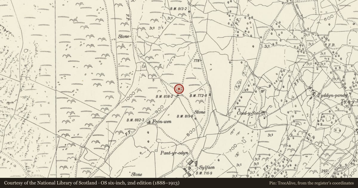
5 historical maps cover this location, the earliest the 1795 map "To Sir Watkin Williams-Wynn Bart ... the map of the six counties of North Wales is most humbly inscribed by his obedient humble servant" (Llyfrgell Genedlaethol Cymru – The National Library of Wales).
Historical maps covering this location
- 1795 · To Sir Watkin Williams-Wynn Bart ... the map of the six counties of North Wales is most… (Llyfrgell Genedlaethol Cymru – The National Library of Wales)
- 1883 · Watershed map England, Wales 3. (David Rumsey Map Collection, Stanford Libraries)
- 1896 · Sheet 7. Ordnance Survey of England and Wales. (David Rumsey Map Collection, Stanford Libraries)
- 1899 · 135 Harlech (Hills) (David Rumsey Map Collection, Stanford Libraries)
- 1901 · Sheet 9 and 10. (David Rumsey Map Collection, Stanford Libraries)
Cadw's description
Summary description and reason for designation
The following provides a general description of the Scheduled Monument.
A stone circle on a natural shelf in an E-facing slope, with some additional levelling. The dominant features at present are a group of three standing stones on the SE side and a low (20 - 30 cm, discontinuous) bank marking the circle; on investigation the stubs of other stones are visible in the bank.
The three extant standing stones include one which appears to be positioned within the circle, and the fact that these three have survived tends to suggest they were the largest; hence this may have been a point of entry to the circle. Apart from these there are about 10 earthfast boulders or stone stubs, plus one outside the circle on the E, but these do not all occur in a regular line around the circle. They are both irregularly spaced and unevenly lined up. Presumably a deliberate attempt to destroy the circle was made in the past, and this has resulted in stones being removed, buried and displaced. Just possibly, given the position of the third of the standing stones, the circle originally had a double ring of stones, though this would be unusual. The site has certainly been ploughed in the past.
The monument is of national importance for its potential to enhance our knowledge of prehistoric ritual practises. It retains significant archaeological potential, with a strong probability of the presence of associated archaeological features and deposits, which may be expected to contain archaeological information concerning chronology and building techniques.
The scheduled area comprises the remains described and an area around them within which related evidence may be expected to survive.
Nearby in the register
- Former Farmhouse at SylfaenDomesticunder 1 mi
- Corn Drying House at Felin SylfaenCommercialunder 1 mi
- Bwlch y Rhiwgyr, cairn 350m to SW ofRound Cairnunder 1 mi
- Stables/Cartshed at Llwyn BachDomesticunder 1 mi
Other entries of the same register within about three miles of this one, by straight line.