Cof Cymru: National Historic Assets of Wales · Wales
Cei Tyddyn Isa
Penrhyndeudraeth, Gwynedd, Wales
A scheduled monument in Penrhyndeudraeth, Gwynedd, recorded as Quay (Post Medieval).
The record
- Designation
- Scheduled monument
- Site type
- Quay
- Period
- Post Medieval
- Date of designation
- 17 March 1980
- Community
- Penrhyndeudraeth
- Unitary authority
- Gwynedd
- Country
- Wales
- Coordinates (centre of the scheduled area)
- 52.93484, -4.04111
- SAM number
- ME108
- Cadw record number
- 3230
Slide toward Today to fade the historical sheet and see the modern map underneath.
David Rumsey Map Collection, Stanford LibrariesDavid Rumsey Map Collection, Stanford LibrariesDavid Rumsey Map Collection, Stanford LibrariesDavid Rumsey Map Collection, Stanford LibrariesBayerische Staatsbibliothek, Munich
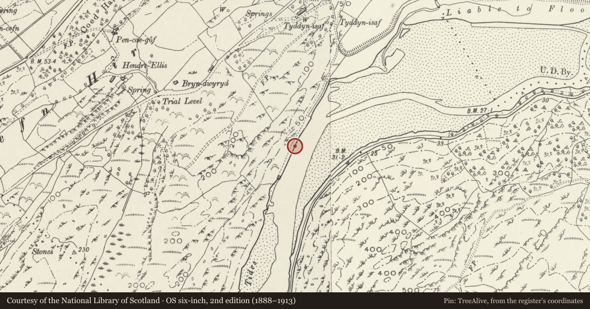
5 historical maps cover this location, the earliest the 1588 map "Ortelius, Abraham: Theatro De La Tierra Universal. 0" (Bayerische Staatsbibliothek, Munich).
Historical maps covering this location
- 1588 · Ortelius, Abraham: Theatro De La Tierra Universal. 0 (Bayerische Staatsbibliothek, Munich)
- 1608 · (13) Cambriae Typus. (David Rumsey Map Collection, Stanford Libraries)
- 1896 · Sheet 7. Ordnance Survey of England and Wales. (David Rumsey Map Collection, Stanford Libraries)
- 1899 · 119 Snowdon (Hills) (David Rumsey Map Collection, Stanford Libraries)
- 1901 · Sheet 9 and 10. (David Rumsey Map Collection, Stanford Libraries)
Cadw's description
Summary description and reason for designation
The following provides a general description of the Scheduled Monument.
A stone-built quay, approximately 200m long, on the N bank of the Afon Dwyryd. The surviving remains, which are well preserved, include the quay, 23 sets of landing steps, slate tying posts, a slipway at the N end of the quay, two roofed buildings and a row of hitching posts for pannier ponies and cart horses. At this quay Ffestiniog slates were loaded onto flat-bottomed craft for transport downstream. Predating the Ffestiniog railway, it is perhaps late 18th century in date.
The monument is of national importance for its potential to enhance our knowledge of modern industry. It retains significant archaeological potential, with a strong probability of the presence of associated archaeological features and deposits. The structures themselves may be expected to contain archaeological information concerning chronology and building techniques.
The scheduled area comprises the remains described and areas around them within which related evidence may be expected to survive.
Nearby in the register
- Milepost to NNE of Cei NewyddTransportunder 1 mi
- Wharf at Cei NewyddMaritimeunder 1 mi
- Coed Cae Fali Hut Circle SettlementEnclosed hut circleunder 1 mi
- Agricultural range at Gelli GrinAgriculture and Subsistenceunder 1 mi
Other entries of the same register within about three miles of this one, by straight line.