Cof Cymru: National Historic Assets of Wales · Wales
Llancadle Deserted Medieval Village
Llancarfan, Vale of Glamorgan, Wales
A scheduled monument in Llancarfan, Vale of Glamorgan, recorded as Deserted Medieval Village (Medieval).
The record
- Designation
- Scheduled monument
- Site type
- Deserted Medieval Village
- Period
- Medieval
- Date of designation
- 28 September 1999
- Community
- Llancarfan
- Unitary authority
- Vale of Glamorgan
- Country
- Wales
- Coordinates (centre of the scheduled area)
- 51.40424, -3.38890
- SAM number
- GM534
- Cadw record number
- 858
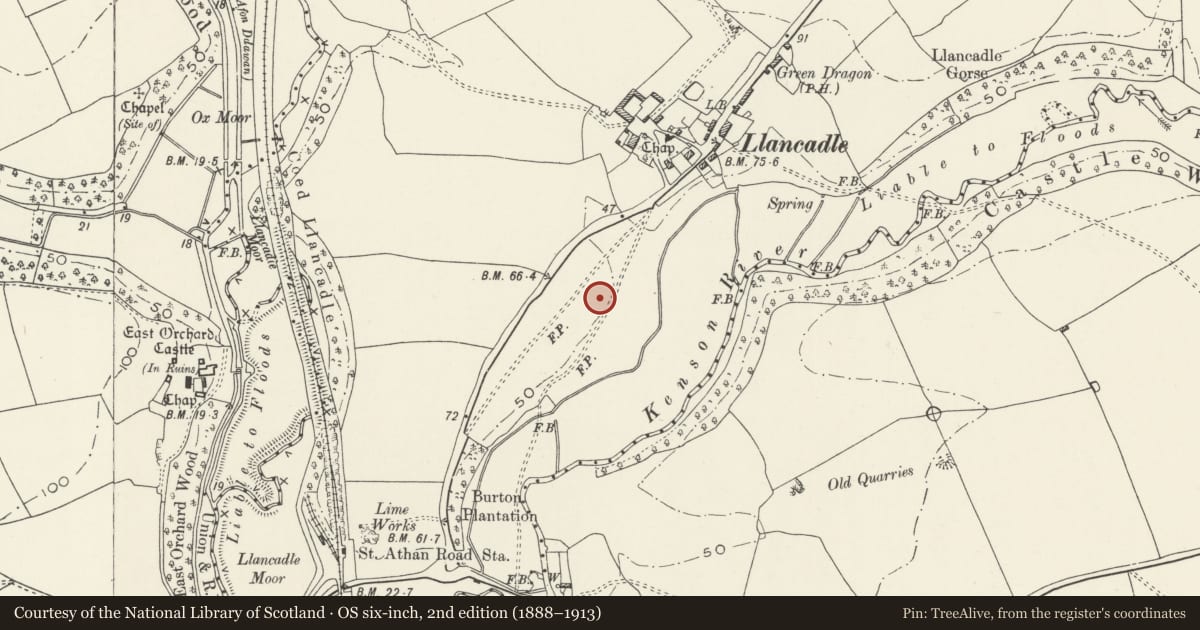
Slide toward Today to fade the historical sheet and see the modern map underneath.
David Rumsey Map Collection, Stanford LibrariesDavid Rumsey Map Collection, Stanford LibrariesDavid Rumsey Map Collection, Stanford LibrariesDavid Rumsey Map Collection, Stanford LibrariesDavid Rumsey Map Collection, Stanford Libraries
5 historical maps cover this location, the earliest the 1636 map "Cornubia : Devonia, Somersetus, Dorcestria, Wiltonia, Glocestria ..." (David Rumsey Map Collection, Stanford Libraries).
Historical maps covering this location
- 1636 · Cornubia : Devonia, Somersetus, Dorcestria, Wiltonia, Glocestria ... (David Rumsey Map Collection, Stanford Libraries)
- 1637 · The fourth table of England. Cornub. Devonia, Somerset etc. (David Rumsey Map Collection, Stanford Libraries)
- 1858 · 20. Bridgewater. (David Rumsey Map Collection, Stanford Libraries)
- 1865 · England and Wales. England No. 6. (David Rumsey Map Collection, Stanford Libraries)
- 1897 · 262 Pontypridd (Hills) (David Rumsey Map Collection, Stanford Libraries)
Cadw's description
Summary description and reason for designation
The following provides a general description of the Scheduled Ancient Monument.
The monument comprises the remains of earthworks, platforms and building footings, representing a deserted village, of probable medieval date. The structures were situated around a sunken trackway or "hollow way". The remains are located to the south-west of the modern settlement. A manorial map of 1622 shows the settlement as abandoned.
The monument is of national importance for its potential to enhance our knowledge of medieval settlement. The monument forms an important element within the wider medieval context and the scheduled area may be expected to contain a wide range of archaeological information, including chronological detail and evidence in regard to construction techniques and agricultural methods.
The scheduled area comprises the remains described and areas around them within which related evidence may be expected to survive.
Nearby in the register
- Retainers' Hall at East OrchardDomesticunder 1 mi
- East Orchard Manor HouseManorunder 1 mi
- Dovecote at East OrchardAgriculture and Subsistenceunder 1 mi
- East Orchard Wood PillboxPillboxunder 1 mi
Other entries of the same register within about three miles of this one, by straight line.