Cof Cymru: National Historic Assets of Wales · Wales
Wat's Dyke: Section extending from Middle Sontley to Black Brook Bridge
Esclusham, Wrexham, Wales
A scheduled monument in Esclusham, Wrexham, recorded as Linear Earthwork (Early Medieval).
The record
- Designation
- Scheduled monument
- Site type
- Linear Earthwork
- Period
- Early Medieval
- Community
- Esclusham
- Unitary authority
- Wrexham
- Country
- Wales
- Coordinates (centre of the scheduled area)
- 53.00848, -3.01165
- SAM number
- DE153
- Cadw record number
- 3671
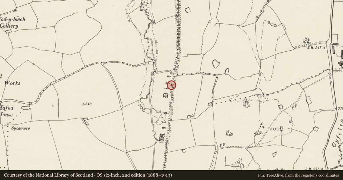
Slide toward Today to fade the historical sheet and see the modern map underneath.
David Rumsey Map Collection, Stanford LibrariesDavid Rumsey Map Collection, Stanford LibrariesDavid Rumsey Map Collection, Stanford LibrariesDavid Rumsey Map Collection, Stanford LibrariesLlyfrgell Genedlaethol Cymru – The National Library of Wales
5 historical maps cover this location, the earliest the 1795 map "To Sir Watkin Williams-Wynn Bart ... the map of the six counties of North Wales is most humbly inscribed by his obedient humble servant" (Llyfrgell Genedlaethol Cymru – The National Library of Wales).
Historical maps covering this location
- 1795 · To Sir Watkin Williams-Wynn Bart ... the map of the six counties of North Wales is most… (Llyfrgell Genedlaethol Cymru – The National Library of Wales)
- 1883 · Watershed map England, Wales 3. (David Rumsey Map Collection, Stanford Libraries)
- 1898 · 121 Wrexham (Hills) (David Rumsey Map Collection, Stanford Libraries)
- 1898 · 121 Wrexham (Outline) (David Rumsey Map Collection, Stanford Libraries)
- 1901 · Sheet 9 and 10. (David Rumsey Map Collection, Stanford Libraries)
Cadw's description
Summary description and reason for designation
The following provides a general description of the Scheduled Ancient Monument.
The monument comprises a stretch of Wat's Dyke, an early historic boundary marker probably associated with the border of the kingdom of Mercia. Both Offa's Dyke and Wat's Dyke probably represent separate attempts in the 8th century to formalise the boundary between the early historic kingdoms within Wales and Mercia to the east. Wat's Dyke runs south from Holywell to the Morda Valley near Maesbury. For the most part, Wat's dyke consists of an earthen bank, often utilising local topography and fronted, where it survives, by a ditch to the west. The size of the surviving earthworks varies considerably, reflecting differences in preservation and probably also in the original scale of construction.
The monument is of national importance for its potential to enhance our knowledge of early medieval defensive organisation and settlement. It retains significant archaeological potential, with a strong probability of the presence of associated archaeological features and deposits. A linear earthwork may be part of a larger cluster of monuments and their importance can further enhanced by their group value.
The scheduled area comprises the remains described and areas around them within which related evidence may be expected to survive.
Nearby in the register
- Old Sontley HallDomesticunder 1 mi
- Hafod House FarmhouseDomesticunder 1 mi
- Hafod HouseHealth and Welfareunder 1 mi
- Wat's Dyke: Section extending from Black Brook Bridge to Pentre-ClawddLinear Earthworkunder 1 mi
Other entries of the same register within about three miles of this one, by straight line.