Cof Cymru: National Historic Assets of Wales · Wales
Hut Circle Settlement at Gwern Engan
Henryd, Conwy, Wales
A scheduled monument in Henryd, Conwy, recorded as Hut Circle Settlement (Prehistoric).
The record
- Designation
- Scheduled monument
- Site type
- Hut Circle Settlement
- Period
- Prehistoric
- Date of designation
- 8 March 1994
- Community
- Henryd
- Unitary authority
- Conwy
- Country
- Wales
- Coordinates (centre of the scheduled area)
- 53.27039, -3.86816
- SAM number
- CN215
- Cadw record number
- 2450
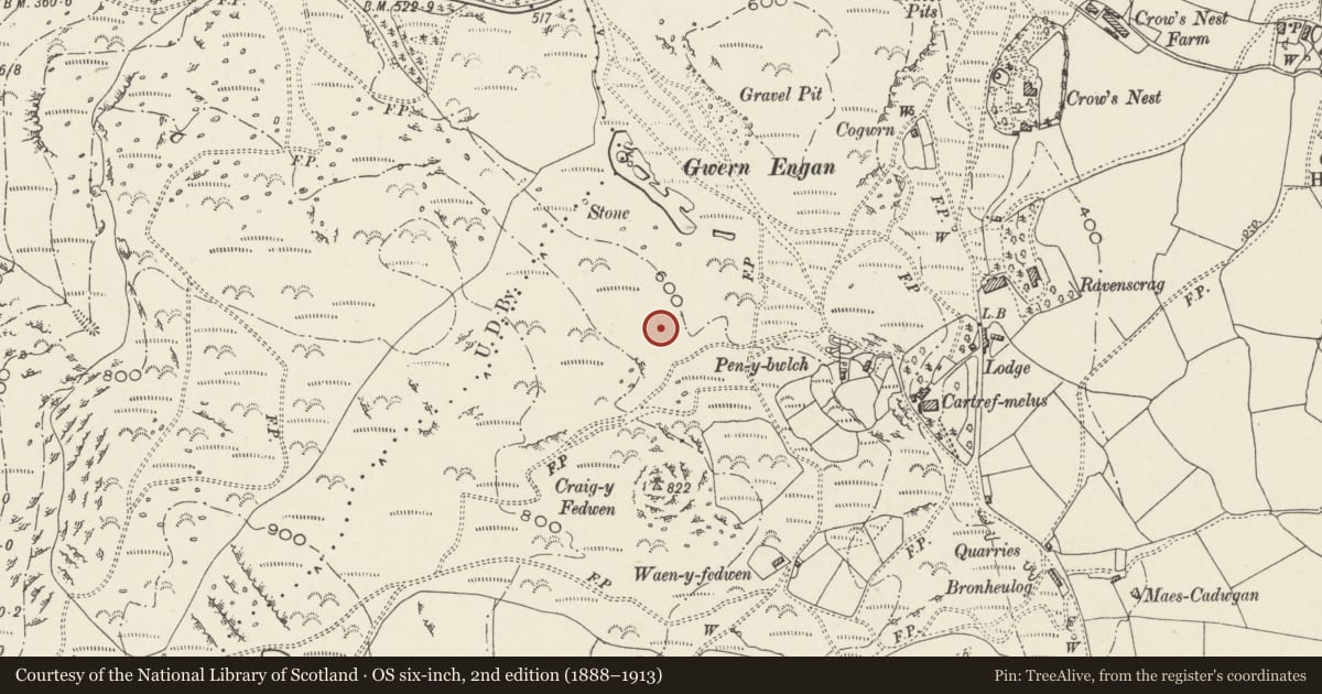
Slide toward Today to fade the historical sheet and see the modern map underneath.
David Rumsey Map Collection, Stanford LibrariesDavid Rumsey Map Collection, Stanford LibrariesDavid Rumsey Map Collection, Stanford LibrariesDavid Rumsey Map Collection, Stanford LibrariesLlyfrgell Genedlaethol Cymru – The National Library of Wales
5 historical maps cover this location, the earliest the 1795 map "To Sir Watkin Williams-Wynn Bart ... the map of the six counties of North Wales is most humbly inscribed by his obedient humble servant" (Llyfrgell Genedlaethol Cymru – The National Library of Wales).
Historical maps covering this location
- 1795 · To Sir Watkin Williams-Wynn Bart ... the map of the six counties of North Wales is most… (Llyfrgell Genedlaethol Cymru – The National Library of Wales)
- 1883 · Watershed map England, Wales 3. (David Rumsey Map Collection, Stanford Libraries)
- 1896 · Sheet 7. Ordnance Survey of England and Wales. (David Rumsey Map Collection, Stanford Libraries)
- 1899 · 94 Beaumaris (Hills) (David Rumsey Map Collection, Stanford Libraries)
- 1901 · Sheet 9 and 10. (David Rumsey Map Collection, Stanford Libraries)
Cadw's description
Summary description and reason for designation
The following provides a general description of the Scheduled Monument.
A settlement of Iron Age or Romano-British date (c. 800 BC - AD 400), which includes the foundations of seven hut circles set on a terrace overlooking marshy ground to the S of Gwern Engan lake. A small stream runs down one side and there are good views towards Conwy and Llansantffraid, but limited in other directions.
Although they are obscured by high vegetation, the huts are generally well-preserved and range in size from almost 8m across to only 3m in diameter. Associated with the settlement are small enclosures and lynchets, which indicate the outline of early fields.
Although there has been some disturbance to two of the huts, the site retains considerable archaeological potential in the extensive undisturbed areas. The proximity to wetland also increases the possibility of significant deposits where environmental data may survive while the importance of the site as a whole is enhanced by the association of the settlement with a small field system.
The monument is of national importance for its potential to enhance our knowledge of prehistoric settlement. It retains significant archaeological potential, with a strong probability of the presence of associated archaeological features and deposits. The structures themselves may be expected to contain archaeological information concerning chronology and building techniques.
The scheduled area comprises the remains described and areas around them within which related evidence may be expected to survive.
Nearby in the register
- Gwern Engan Concentric Enclosed Hut CircleHut Circle Settlementunder 1 mi
- Row of Pigsties at Llechan-uchafAgriculture and Subsistenceunder 1 mi
- Farmbuildings at Llechan-uchafAgriculture and Subsistenceunder 1 mi
- Hen-dy Farmhouse including attached outbuildingDomesticunder 1 mi
Other entries of the same register within about three miles of this one, by straight line.