Cof Cymru: National Historic Assets of Wales · Wales
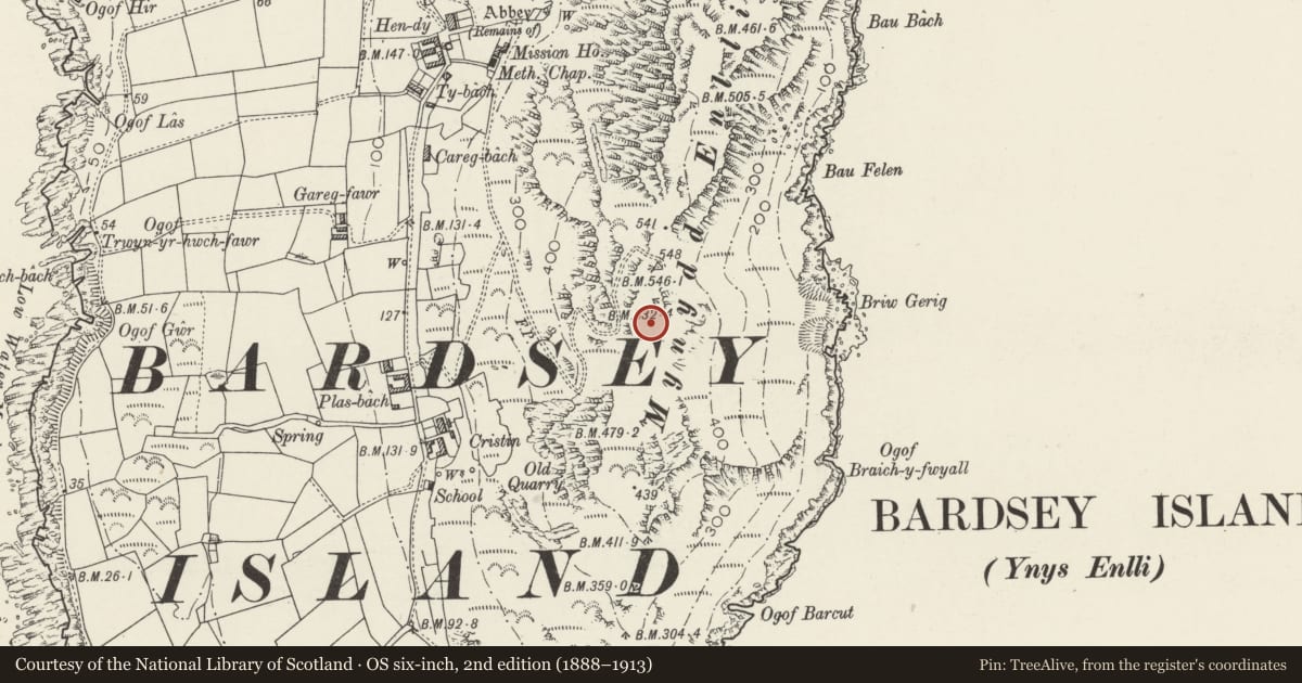
Mynydd Enlli Round Barrow, Bardsey Island
Aberdaron, Gwynedd, Wales
A scheduled monument in Aberdaron, Gwynedd, recorded as Round Barrow (Prehistoric).
The record
- Designation
- Scheduled monument
- Site type
- Round Barrow
- Period
- Prehistoric
- Community
- Aberdaron
- Unitary authority
- Gwynedd
- Country
- Wales
- Coordinates (centre of the scheduled area)
- 52.76096, -4.78375
- SAM number
- CN140
- Cadw record number
- 2436
Slide toward Today to fade the historical sheet and see the modern map underneath.
David Rumsey Map Collection, Stanford LibrariesDavid Rumsey Map Collection, Stanford LibrariesDavid Rumsey Map Collection, Stanford LibrariesDavid Rumsey Map Collection, Stanford LibrariesDavid Rumsey Map Collection, Stanford Libraries
5 historical maps cover this location, the earliest the 1608 map "(13) Cambriae Typus." (David Rumsey Map Collection, Stanford Libraries).
Historical maps covering this location
- 1608 · (13) Cambriae Typus. (David Rumsey Map Collection, Stanford Libraries)
- 1637 · Particular description of Wales. Cambria seu Wallia (David Rumsey Map Collection, Stanford Libraries)
- 1799 · Ireland. (David Rumsey Map Collection, Stanford Libraries)
- 1883 · Watershed map England, Wales 3. (David Rumsey Map Collection, Stanford Libraries)
- 1898 · 133 Bardsey Island (Hills) (David Rumsey Map Collection, Stanford Libraries)
Cadw's description
Summary description and reason for designation
The following provides a general description of the Scheduled Monument.
An earthen mound 6 m in diameter, and about 1 m high. It sits on a levelled platform. The barrow has been badly disturbed by Manx Shearwater burrows.
Nearby in the register
- Huts on Mynydd Enlli, Bardsey IslandHut Circle Settlementunder 1 mi
- CristinDomesticunder 1 mi
- Walls to CristinDomesticunder 1 mi
- Walled Court at CristinDomesticunder 1 mi
Other entries of the same register within about three miles of this one, by straight line.