Cof Cymru: National Historic Assets of Wales · Wales
Castell y Domen, Gwempa
Llangyndeyrn, Carmarthenshire, Wales
A scheduled monument in Llangyndeyrn, Carmarthenshire, recorded as Motte (Medieval).
The record
- Designation
- Scheduled monument
- Site type
- Motte
- Period
- Medieval
- Date of designation
- 6 January 1988
- Community
- Llangyndeyrn
- Unitary authority
- Carmarthenshire
- Country
- Wales
- Coordinates (centre of the scheduled area)
- 51.78998, -4.26781
- SAM number
- CM240
- Cadw record number
- 656
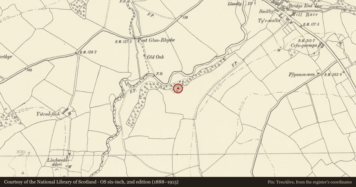
Slide toward Today to fade the historical sheet and see the modern map underneath.
David Rumsey Map Collection, Stanford LibrariesDavid Rumsey Map Collection, Stanford LibrariesDavid Rumsey Map Collection, Stanford LibrariesDavid Rumsey Map Collection, Stanford LibrariesDavid Rumsey Map Collection, Stanford Libraries
5 historical maps cover this location, the earliest the 1636 map "Cornubia : Devonia, Somersetus, Dorcestria, Wiltonia, Glocestria ..." (David Rumsey Map Collection, Stanford Libraries).
Historical maps covering this location
- 1636 · Cornubia : Devonia, Somersetus, Dorcestria, Wiltonia, Glocestria ... (David Rumsey Map Collection, Stanford Libraries)
- 1860 · 41. Caermathen. (David Rumsey Map Collection, Stanford Libraries)
- 1891 · Sheet 10. Ordnance Survey of England and Wales. . (David Rumsey Map Collection, Stanford Libraries)
- 1898 · 229 Carmarthen (Hills) (David Rumsey Map Collection, Stanford Libraries)
- 1901 · Sheet 14. (David Rumsey Map Collection, Stanford Libraries)
Cadw's description
Summary description and reason for designation
The following provides a general description of the Scheduled Ancient Monument.
The monument comprises the remains of a motte and ditch, dating to the medieval period (c. 1066 -1540 AD). A motte is a large conical or pyramidal mound of soil and/or stone, usually surrounded by either a wet or dry ditch, and surmounted by a tower constructed of timber or stone. Cstell y Domen measures 55m high and has a summit diameter of 18m. The encircling ditch is 1.5m deep, and is well preserved on all sides save the north where the steep natural slopes render it unnecessary.
The monument is of national importance for its potential to enhance our knowledge of medieval defensive practices. The monument is well-preserved and an important relic of the medieval landscape. It retains significant archaeological potential, with a strong probability of the presence of both structural evidence and intact associated deposits.
The scheduled area comprises the remains described and areas around them within which related evidence may be expected to survive.
Nearby in the register
- Pont AntwnNo class recordedunder 1 mi
- GlanrhydwNo class recordedunder 1 mi
- Pen Celli Standing StoneStanding Stoneunder 1 mi
- Standing Stone NE of Halfway HouseStanding Stoneunder 1 mi
Other entries of the same register within about three miles of this one, by straight line.