Cof Cymru: National Historic Assets of Wales · Wales
Stables at Gilfach y Berthog, including attached gate piers
Abergwili, Carmarthenshire, Wales
A Grade II listed building in Llanfihangel-uwch-gwili, Abergwili, Carmarthenshire, designated on 24 September 1991.
The record
- Designation
- Listed building, Grade II
- Broad class
- Domestic
- Date of designation
- 24 September 1991
- Locality
- Llanfihangel-uwch-gwili
- Community
- Abergwili
- Unitary authority
- Carmarthenshire
- Country
- Wales
- Coordinates
- 51.88433, -4.20827
- Cadw reference
- 9739
Slide toward Today to fade the historical sheet and see the modern map underneath.
David Rumsey Map Collection, Stanford LibrariesDavid Rumsey Map Collection, Stanford LibrariesDavid Rumsey Map Collection, Stanford LibrariesDavid Rumsey Map Collection, Stanford LibrariesDavid Rumsey Map Collection, Stanford Libraries
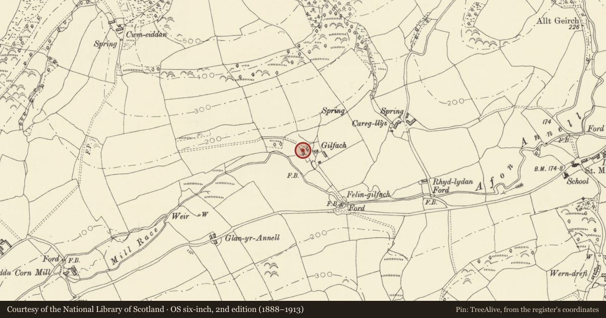
5 historical maps cover this location, the earliest the 1636 map "Cornubia : Devonia, Somersetus, Dorcestria, Wiltonia, Glocestria ..." (David Rumsey Map Collection, Stanford Libraries).
Historical maps covering this location
- 1636 · Cornubia : Devonia, Somersetus, Dorcestria, Wiltonia, Glocestria ... (David Rumsey Map Collection, Stanford Libraries)
- 1860 · 41. Caermathen. (David Rumsey Map Collection, Stanford Libraries)
- 1891 · Sheet 10. Ordnance Survey of England and Wales. . (David Rumsey Map Collection, Stanford Libraries)
- 1898 · 211 Newcastle Emlyn (Hills) (David Rumsey Map Collection, Stanford Libraries)
- 1901 · Sheet 14. (David Rumsey Map Collection, Stanford Libraries)
Cadw's description
Location
On the W side of the house.
History
Early C19 and shown on the 1840 Tithe map.
Exterior
Stables of limewashed rubble with slate roof. Openings have wooden lintels. The doorway to the R of centre has boarded window to the R and hopper window to the L. Attached at right angles at the uphill end are stone gate piers with ball finials that served as the entrance to this courtyard from a former lane that ran W at the foot of the hill. Attached to the lower gable end is a later, lower rubble-stone range in line.
Interior
The stables are lofted and retain stalls.
Reason for designation
Listed as well-preserved C19 stables and gate piers, and for group value with Gilfach-y-Berthog house and barn.
Nearby in the register
- Gilfach y BerthogDomesticunder 1 mi
- Barn to SE of Gilfach y BerthogAgriculture and Subsistenceunder 1 mi
- Church of St MichaelReligious, Ritual and Funeraryunder 1 mi
- Ffynnon-Newydd Standing StonesHenge1 mi
Other entries of the same register within about three miles of this one, by straight line.