Cof Cymru: National Historic Assets of Wales · Wales
Pillar Box outside Midland Bank
Newcastle Emlyn, Carmarthenshire, Wales
A Grade II listed building in Newcastle Emlyn, Carmarthenshire, designated on 5 August 1991.
The record
- Designation
- Listed building, Grade II
- Broad class
- Communications
- Date of designation
- 5 August 1991
- Community
- Newcastle Emlyn
- Unitary authority
- Carmarthenshire
- Country
- Wales
- Coordinates
- 52.03713, -4.46930
- Cadw reference
- 9703
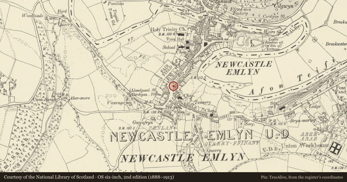
Slide toward Today to fade the historical sheet and see the modern map underneath.
David Rumsey Map Collection, Stanford LibrariesDavid Rumsey Map Collection, Stanford LibrariesDavid Rumsey Map Collection, Stanford LibrariesDavid Rumsey Map Collection, Stanford LibrariesDavid Rumsey Map Collection, Stanford Libraries
5 historical maps cover this location, the earliest the 1830 map "V.3:11-15:XV. Britisches Reich. A. Kon: England. b. Frstenthum Wales: Shire: 37-40" (David Rumsey Map Collection, Stanford Libraries).
Historical maps covering this location
- 1830 · V.3:11-15:XV. Britisches Reich. A. Kon: England. b. Frstenthum Wales: Shire: 37-40 (David Rumsey Map Collection, Stanford Libraries)
- 1860 · 41. Caermathen. (David Rumsey Map Collection, Stanford Libraries)
- 1891 · Sheet 10. Ordnance Survey of England and Wales. . (David Rumsey Map Collection, Stanford Libraries)
- 1898 · 211 Newcastle Emlyn (Hills) (David Rumsey Map Collection, Stanford Libraries)
- 1901 · Sheet 14. (David Rumsey Map Collection, Stanford Libraries)
Cadw's description
Location
Situated by roadside where College Row opens into Emlyn Square.
Exterior
Mid C20 circular pillar box in cast-iron, some 1.5m high, with black painted plinth marked 'Carron Company Stirlingshire'. Red-painted shaft and cap, the shaft with GR, royal crown and 'Post Office' above and below letter opening.
.
Reason for designation
Included as good example of street furniture
Nearby in the register
- Baptist Chapel, including Sunday School forecourt railings & gates.Religious, Ritual and Funeraryunder 1 mi
- Emlyn Castle (All Kings Premises)Commercialunder 1 mi
- National Westminster BankCommercialunder 1 mi
- W.Evans George PremisesCommercialunder 1 mi
Other entries of the same register within about three miles of this one, by straight line.