Cof Cymru: National Historic Assets of Wales · Wales
2 Market Street
Laugharne Township, Carmarthenshire, Wales
A Grade II listed building in Laugharne Township, Carmarthenshire, designated on 25 September 1986.
The record
- Designation
- Listed building, Grade II
- Broad class
- Domestic
- Date of designation
- 25 September 1986
- Community
- Laugharne Township
- Unitary authority
- Carmarthenshire
- Country
- Wales
- Coordinates
- 51.77059, -4.46221
- Cadw reference
- 9660
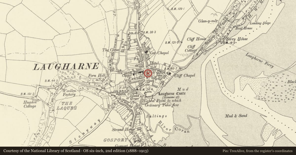
Slide toward Today to fade the historical sheet and see the modern map underneath.
David Rumsey Map Collection, Stanford LibrariesDavid Rumsey Map Collection, Stanford LibrariesDavid Rumsey Map Collection, Stanford LibrariesDavid Rumsey Map Collection, Stanford LibrariesDavid Rumsey Map Collection, Stanford Libraries
5 historical maps cover this location, the earliest the 1636 map "Cornubia : Devonia, Somersetus, Dorcestria, Wiltonia, Glocestria ..." (David Rumsey Map Collection, Stanford Libraries).
Historical maps covering this location
- 1636 · Cornubia : Devonia, Somersetus, Dorcestria, Wiltonia, Glocestria ... (David Rumsey Map Collection, Stanford Libraries)
- 1860 · 41. Caermathen. (David Rumsey Map Collection, Stanford Libraries)
- 1891 · Sheet 10. Ordnance Survey of England and Wales. . (David Rumsey Map Collection, Stanford Libraries)
- 1898 · 229 Carmarthen (Hills) (David Rumsey Map Collection, Stanford Libraries)
- 1920 · Sheet 100. Llanelly. (David Rumsey Map Collection, Stanford Libraries)
Cadw's description
Location
Set back to the left of the Town Hall.
Exterior
Pair of C18/early C19 s-storey, 2-window whitewashed rubble frontage; slightly higher eaves and steeper slate roof to No 2, brick and cement rendered chimney stacks. Various sash windows, mostly with small pane glazing; 4-pane shop window to No 2 6-panel door to left, half-glazed to right under brick segmental arch.
Reason for designation
No 1 continues to right but is no longer of special interest
Group value.
Nearby in the register
- 3 Market StreetDomesticunder 1 mi
- Town HallCivilunder 1 mi
- Manchester HouseCommercialunder 1 mi
- GwaliaCommercialunder 1 mi
Other entries of the same register within about three miles of this one, by straight line.