Cof Cymru: National Historic Assets of Wales · Wales
9 Spilman Street
Carmarthen, Carmarthenshire, Wales
A Grade II listed building in Carmarthen, Carmarthenshire, designated on 19 May 1981.
The record
- Designation
- Listed building, Grade II
- Broad class
- Domestic
- Date of designation
- 19 May 1981
- Community
- Carmarthen
- Unitary authority
- Carmarthenshire
- Country
- Wales
- Coordinates
- 51.85655, -4.30400
- Cadw reference
- 9597
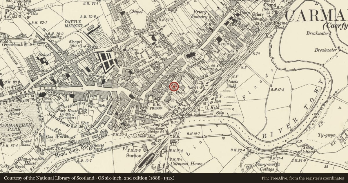
Slide toward Today to fade the historical sheet and see the modern map underneath.
David Rumsey Map Collection, Stanford LibrariesDavid Rumsey Map Collection, Stanford LibrariesDavid Rumsey Map Collection, Stanford LibrariesDavid Rumsey Map Collection, Stanford LibrariesDavid Rumsey Map Collection, Stanford Libraries
5 historical maps cover this location, the earliest the 1636 map "Cornubia : Devonia, Somersetus, Dorcestria, Wiltonia, Glocestria ..." (David Rumsey Map Collection, Stanford Libraries).
Historical maps covering this location
- 1636 · Cornubia : Devonia, Somersetus, Dorcestria, Wiltonia, Glocestria ... (David Rumsey Map Collection, Stanford Libraries)
- 1860 · 41. Caermathen. (David Rumsey Map Collection, Stanford Libraries)
- 1891 · Sheet 10. Ordnance Survey of England and Wales. . (David Rumsey Map Collection, Stanford Libraries)
- 1898 · 229 Carmarthen (Hills) (David Rumsey Map Collection, Stanford Libraries)
- 1901 · Sheet 14. (David Rumsey Map Collection, Stanford Libraries)
Cadw's description
Location
Situated in terraced row just SW of Ivy Bush Hotel.
History
Terraced house, probably early C19, part of the row 5-10 of which Nos 5-8 have been rebuilt in approximate replica in 1989-90. Marked as built-up on 1834 map of Carmarthen. Renovated in late C20, the modillion eaves cornice mentioned in 1981 has been lost.
Exterior
Mid-terrace house in painted stucco with pitched slate gabled roof and red brick ridge stack. Narrow 3-storey, 1-window range. Second floor has C20 square 12-pane horned timber sash 4 panes wide, first floor has similar 16-pane horned timber sash, both with painted sills and ground floor has plate glass horned sash with painted sill at plinth level. All fenestration slightly offset to left, door to right. C20 6-panel timber door, with glazed upper panels, with slate step.
Interior
Not available for inspection. Said to have contemporary staircase.
Reason for designation
Included as a late Georgian town house, typical of the period, and one of the last survivors of an important terraced row.
Nearby in the register
- 10 Spilman StreetDomesticunder 1 mi
- The Spilman HotelDomesticunder 1 mi
- Masonic HallInstitutionalunder 1 mi
- 12 Spilman StreetCommercialunder 1 mi
Other entries of the same register within about three miles of this one, by straight line.