Cof Cymru: National Historic Assets of Wales · Wales
No 1 Speedwell Court
Carmarthen, Carmarthenshire, Wales
A Grade II listed building in Carmarthen, Carmarthenshire, designated on 19 May 1981.
The record
- Designation
- Listed building, Grade II
- Broad class
- Domestic
- Date of designation
- 19 May 1981
- Community
- Carmarthen
- Unitary authority
- Carmarthenshire
- Country
- Wales
- Coordinates
- 51.85633, -4.31247
- Cadw reference
- 9591
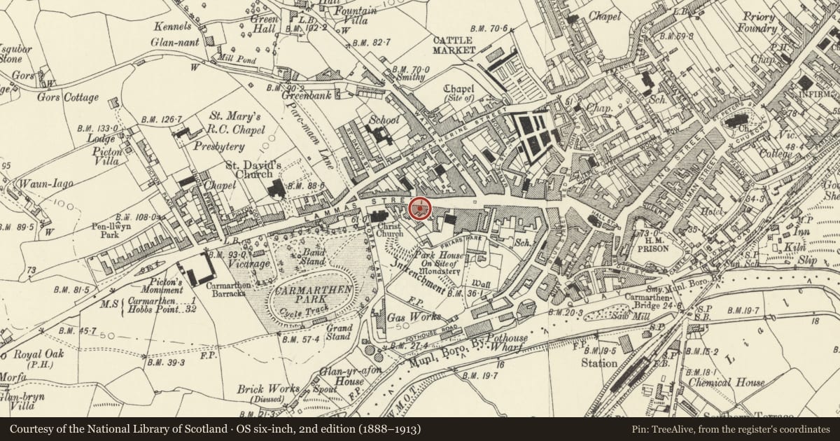
Slide toward Today to fade the historical sheet and see the modern map underneath.
David Rumsey Map Collection, Stanford LibrariesDavid Rumsey Map Collection, Stanford LibrariesDavid Rumsey Map Collection, Stanford LibrariesDavid Rumsey Map Collection, Stanford LibrariesDavid Rumsey Map Collection, Stanford Libraries
5 historical maps cover this location, the earliest the 1636 map "Cornubia : Devonia, Somersetus, Dorcestria, Wiltonia, Glocestria ..." (David Rumsey Map Collection, Stanford Libraries).
Historical maps covering this location
- 1636 · Cornubia : Devonia, Somersetus, Dorcestria, Wiltonia, Glocestria ... (David Rumsey Map Collection, Stanford Libraries)
- 1860 · 41. Caermathen. (David Rumsey Map Collection, Stanford Libraries)
- 1891 · Sheet 10. Ordnance Survey of England and Wales. . (David Rumsey Map Collection, Stanford Libraries)
- 1898 · 229 Carmarthen (Hills) (David Rumsey Map Collection, Stanford Libraries)
- 1901 · Sheet 14. (David Rumsey Map Collection, Stanford Libraries)
Cadw's description
Location
Situated behind No 97 Lammas Street and accessed through passageway.
History
One of a pair of backland houses possibly of early C19 origins. Much altered since 1981 when they were described as whitewashed rubble stone, with inner window bay and outer door bay, glazing-bar sash windows, and ledged doors.
Exterior
Paired house, unpainted roughcast, with slate roof and shared, renewed brick stack at right. Two-storey, 2-window range, upper floor with C20 metal windows, smaller to left, and ground floor C20 door to left under rear canopy of through-passage and 4-pane sash to right .
Interior
In 1981 said to have exposed ceiling joists.
Reason for designation
Included despite alterations as part of one of the town's remaining C19 courtyard groups.
Nearby in the register
- 97 Lammas StreetDomesticunder 1 mi
- No 2 Speedwell CourtDomesticunder 1 mi
- 96 Lammas StreetDomesticunder 1 mi
- No 1 Thomas CourtDomesticunder 1 mi
Other entries of the same register within about three miles of this one, by straight line.