Cof Cymru: National Historic Assets of Wales · Wales
Tomb (a) and railings in the burial ground of the former Ebenezer Chapel
Carmarthen, Carmarthenshire, Wales
A Grade II listed building in Carmarthen, Carmarthenshire, designated on 19 May 1981.
The record
- Designation
- Listed building, Grade II
- Broad class
- Religious, Ritual and Funerary
- Date of designation
- 19 May 1981
- Community
- Carmarthen
- Unitary authority
- Carmarthenshire
- Country
- Wales
- Coordinates
- 51.85838, -4.30770
- Cadw reference
- 9459
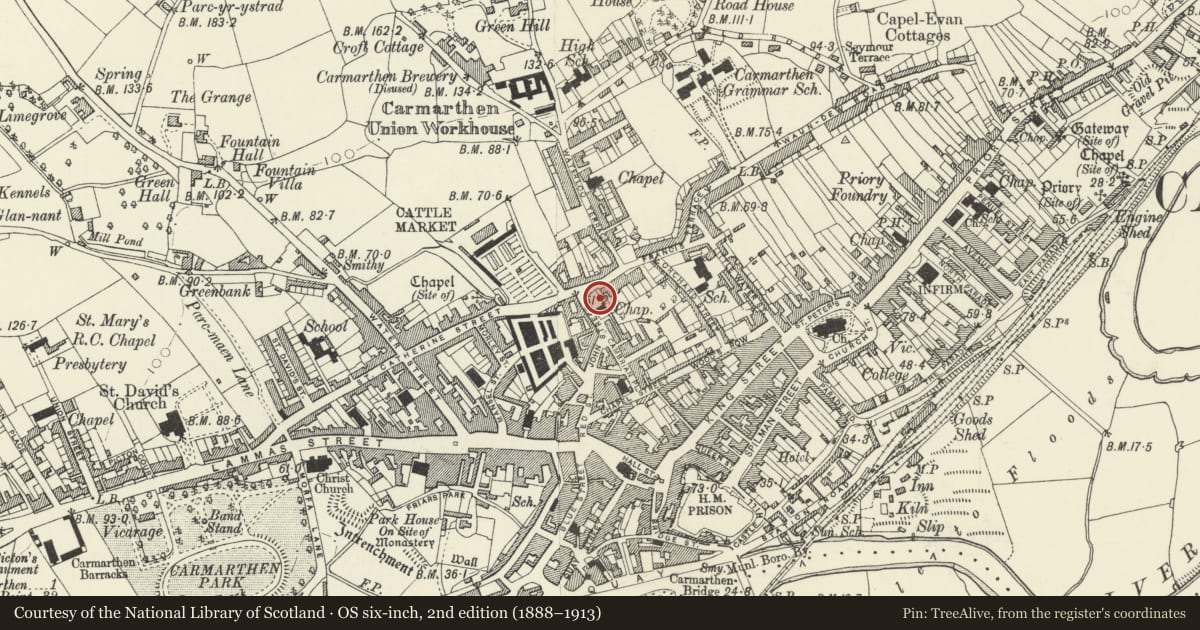
Slide toward Today to fade the historical sheet and see the modern map underneath.
David Rumsey Map Collection, Stanford LibrariesDavid Rumsey Map Collection, Stanford LibrariesDavid Rumsey Map Collection, Stanford LibrariesDavid Rumsey Map Collection, Stanford LibrariesDavid Rumsey Map Collection, Stanford Libraries
5 historical maps cover this location, the earliest the 1636 map "Cornubia : Devonia, Somersetus, Dorcestria, Wiltonia, Glocestria ..." (David Rumsey Map Collection, Stanford Libraries).
Historical maps covering this location
- 1636 · Cornubia : Devonia, Somersetus, Dorcestria, Wiltonia, Glocestria ... (David Rumsey Map Collection, Stanford Libraries)
- 1860 · 41. Caermathen. (David Rumsey Map Collection, Stanford Libraries)
- 1891 · Sheet 10. Ordnance Survey of England and Wales. . (David Rumsey Map Collection, Stanford Libraries)
- 1898 · 229 Carmarthen (Hills) (David Rumsey Map Collection, Stanford Libraries)
- 1901 · Sheet 14. (David Rumsey Map Collection, Stanford Libraries)
Cadw's description
Location
Situated on E side of former burial ground at the juction with Barn Road.
History
One of 2 adjacent mid C19 table tombs with iron railings in former burial ground of Ebenezer Welsh Wesleyan Chapel, founded 1824 and closed 1920.
Exterior
One of 2 adjacent table tombs with iron railings against E edge of burial ground. Tombs are of grey stone with plinth, plain sides and slab top with moulded edges and incised line border. Railings are on rendered plinth, iron spearhead rails and large urns to stanchions, which have raking struts.
Reason for designation
Included as one of 2 stone table tombs with iron railings, both of quality, reminders of an important demolished local chapel.
Nearby in the register
- Tomb (b) and railings in burial ground of the former Ebenezer ChapelReligious, Ritual and Funeraryunder 1 mi
- Railings and gate to former Ebenezer Chapel burial groundReligious, Ritual and Funeraryunder 1 mi
- 3-4 Barn RoadDomesticunder 1 mi
- 2 Barn RoadDomesticunder 1 mi
Other entries of the same register within about three miles of this one, by straight line.